
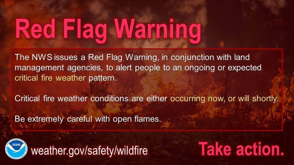
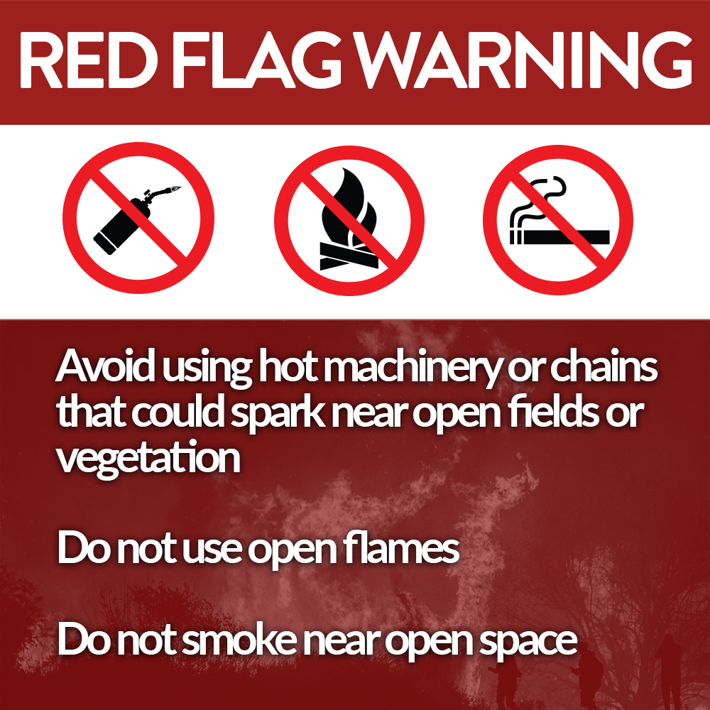
Fires may spread quickly out of control because
- of winds 5-15 MPH, gusting to 25 MPH,
- while the air is super dry with relative humidity approaching 20%, and
- the ground remains super dry despite Weds night rain. We remain in drought.
The Warning expires at 7 PM.
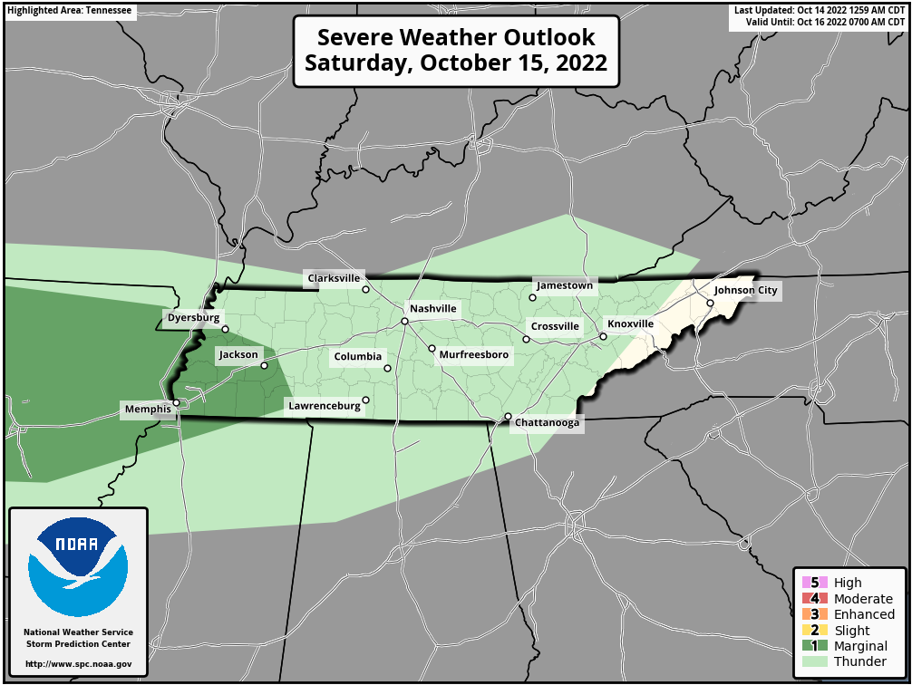
Late Saturday into Sunday rain looks meh, off and on. Total under 0.20″ won’t dent drought.
🌩️ Few thunderstorms possible Saturday but the meh severe risk is in that dark green way west of us Saturday 👇🏽
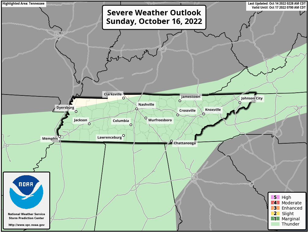
🌩️ Just thunderstorms (no severe expected) Sunday 👇🏽
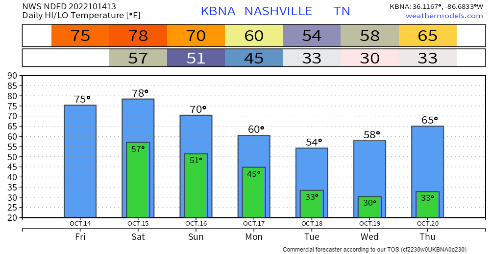
Coldest temps this fall, mid week.
- Freezing for most (all?) of us early Tue – Wed – Thu mornings.
- Below forecast lows are for BNA which runs a little warm.
- Some may see a “hard freeze” for a few hours Weds morning. Protect vulnerable pipes.
Quick References:
Weather changes constantly.
Follow @NashSevereWx on Twitter for any changes to this forecast.
Live coverage during tornado and severe thunderstorm warnings.

Look good.
Support the mission.

We are 100% community supported. No ads. No subscription fees. Keep it free for everyone.


Categories: Forecast Blogs (Legacy)
You must be logged in to post a comment.