
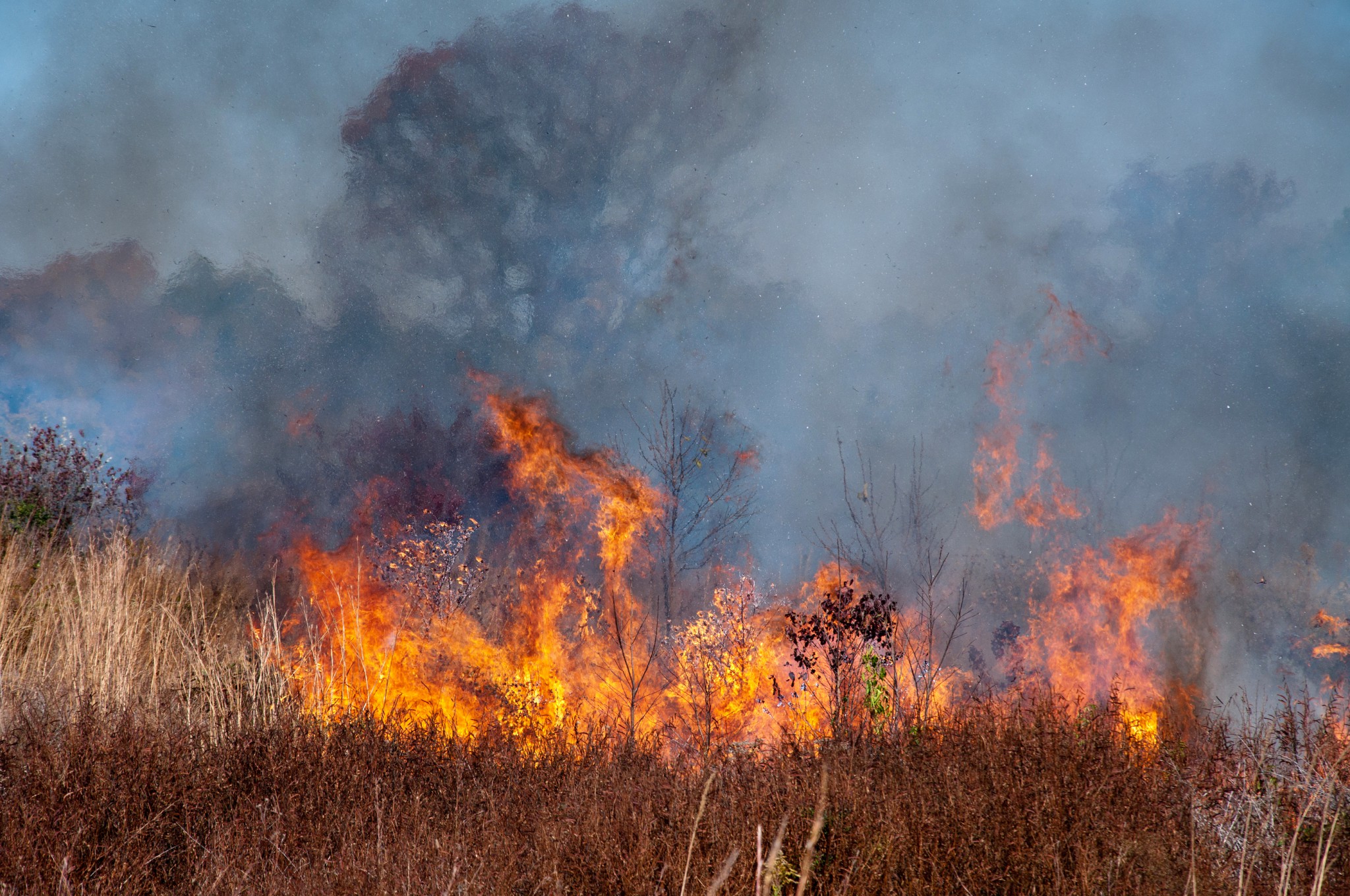
- Don’t burn stuff this afternoon.
- afternoon relative humidity 10% to 20%, that’s crazy dry
- brown ground getting crunchy
- thankfully winds should be under 10 MPH, but still …
… no significant rain has fallen in Middle Tennessee since September 11 and our area has become quite dry – so elevated fire danger is expected during the afternoon hours with a risk for brush fires.
NWS-Nashville, Forecast Discussion, 10/3/22 & 10/4/22
Brush fires can spread out of control.
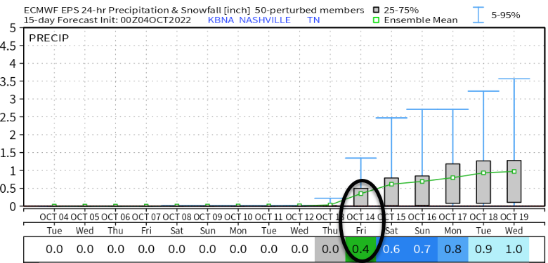
Next rain potential looks like October 14-ish 👇🏽
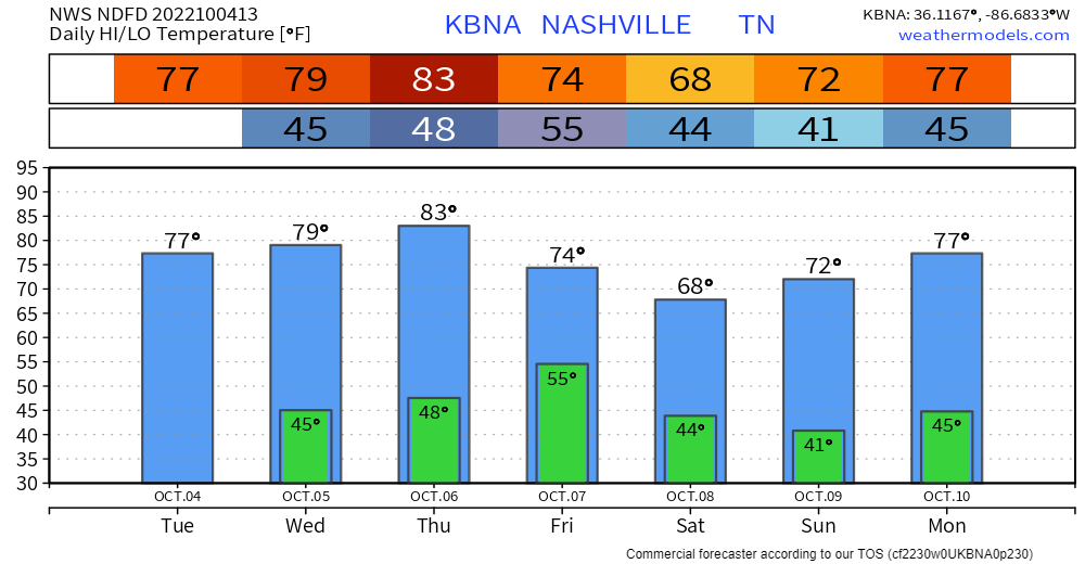
Cold front Thursday night will make cold weekend mornings.
- Frost isn’t expected but cannot rule it out.
Quick References:
Weather changes constantly.
Follow @NashSevereWx on Twitter for any changes to this forecast.
Live coverage during tornado and severe thunderstorm warnings.

Look good.
Support the mission.

We are 100% community supported. No ads. No subscription fees. Keep it free for everyone.


Categories: Forecast Blogs (Legacy)
You must be logged in to post a comment.