
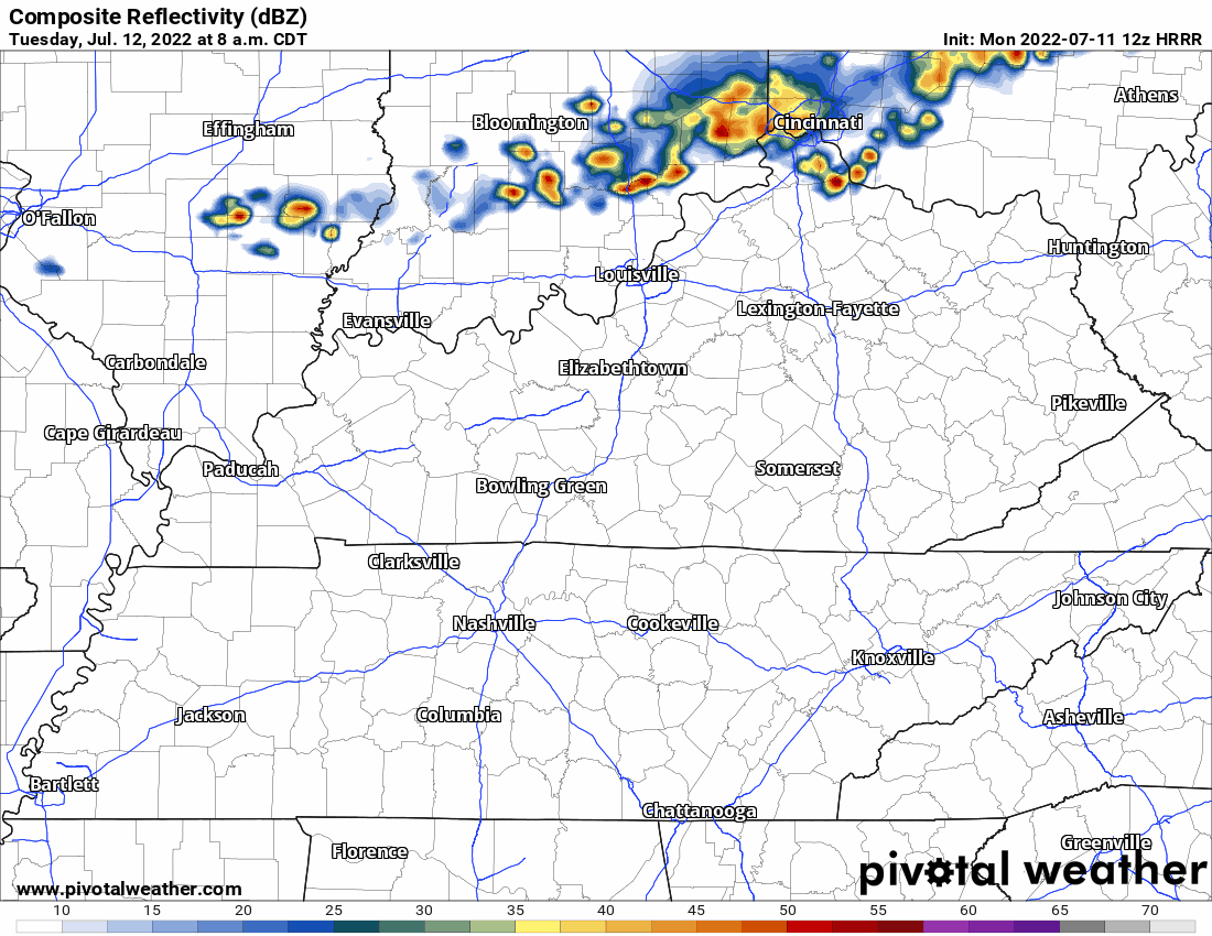
HRRR model thinks a line of rain and thunderstorms will swing out of KY Tuesday (tomorrow) afternoon but fizzle before they arrive here.
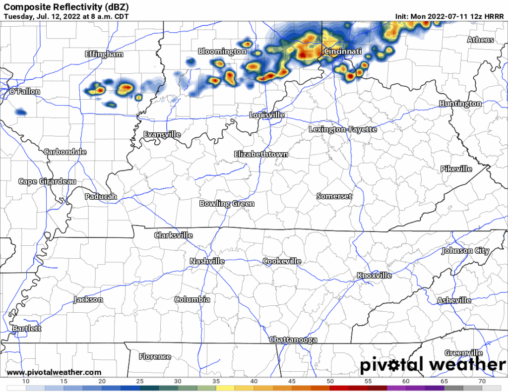
Then — right around sundown Tuesday — it thinks storms redevelop and roll off and on until wee hours Weds.
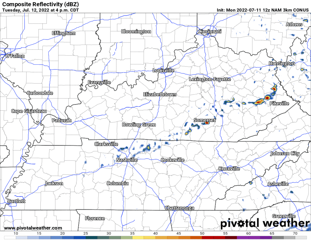
It makes sense storms develop Tuesday late afternoon into early evening because that’s when temp/humidity will be highest — tipping Heat Index over 100°. That’s what the NAM4 model shows:
Storms may form right on top of us, it’s possible not everyone in Davidson/Williamson Counties get rain. Janine may be in luck:
Lightning and heavy rain are the Tuesday storm hazards. No severe weather or flash flooding in this forecast right now.
We still may pop a shower Weds afternoon but that’s unlikely.
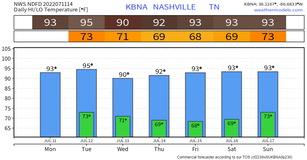
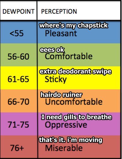
Uncomfortable humidity gradually, slowly eases away Weds. It’ll still be hot the rest of the week but dewpoints will settle in around Sticky. An improvement:
Dry until Sunday when humidity increases and we may punch more Wattery tickets.
Quick References:
Weather changes constantly.
Follow @NashSevereWx on Twitter for any changes to this forecast.
Live coverage during tornado and severe thunderstorm warnings.

Look good.
Support the mission.

We are 100% community supported. No ads. No subscription fees. Keep it free for everyone.


Categories: Forecast Blogs (Legacy)
You must be logged in to post a comment.