
We are warming up nicely today to the low 70s. This is right around average for this time of year. These temps teeter totter in between the upper 60s and low 70s for the first half of the work week.
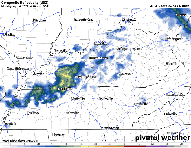
If you’ve been sneezing because of the yellow stuff on your car, rain is on its way. Some of us may see some light sprinkles throughout today associated with shortwave trough. No threats with these sprinkles and no need to cancel any plans.
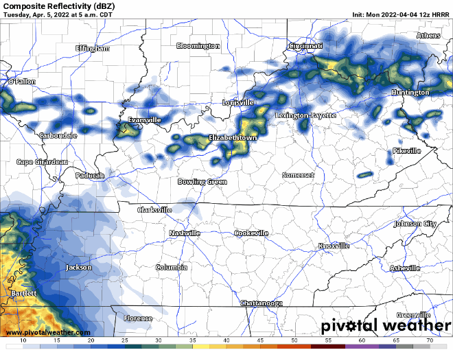
Tomorrow the rain continues because of low pressure sweeping across Tennessee. Although states south of us are included in a SPC outlook for severe weather, we are not. Instability to power storm at/near severe levels should stay south of us. Instead, we’ll get rain Tuesday. At worst, a thunderstorm or two and gusty winds are possible. Look for just under a half inch of rain with most of it falling in the middle of the day.
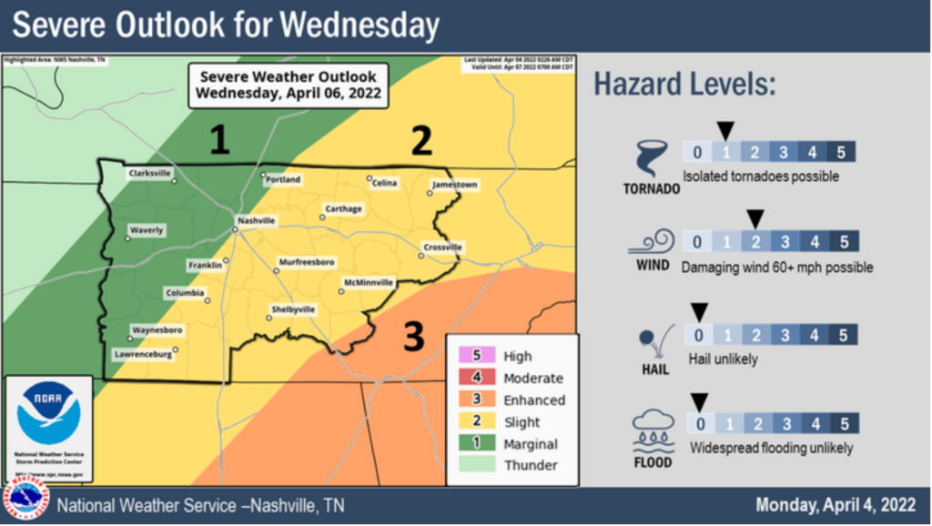
Possible Strong to Severe Storms Wednesday
A cold front sweeps across the country Wednesday. The SPC has included our area in a severe weather outlook because of this. Davidson and Williamson counties are split in the slight(2/5) and marginal(1/5) risks. The main concerns with this system are damaging winds with gusts up to 60 mph. We cannot rule out isolated tornadoes in this time of year.
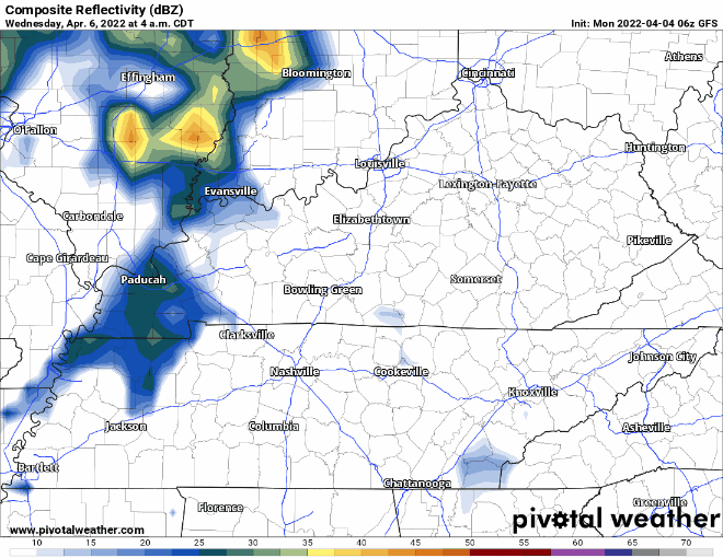
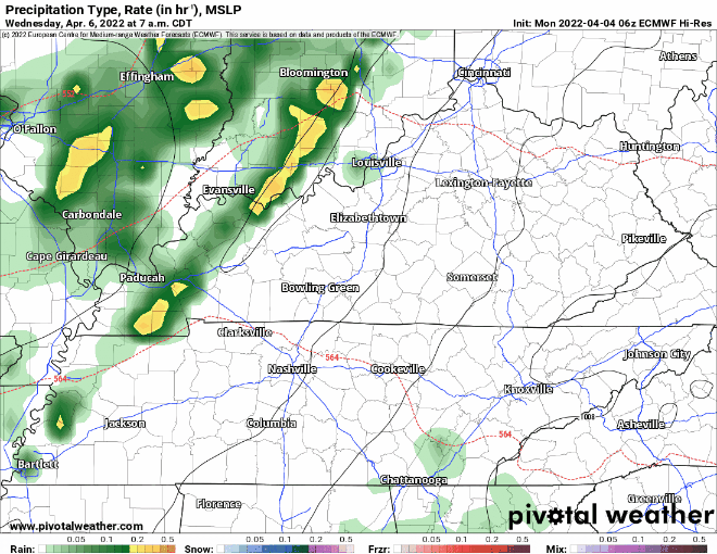
Both long-range models below show this system coming in late morning and out by just after dinner time. Check in tomorrow as high res models come into the timeline.
After this system the cold front moves through dropping our temps to the low 60s for Thursday and the mid 50s for the start of the weekend.
Quick References:
Weather changes constantly.
Follow @NashSevereWx on Twitter for any changes to this forecast.
Live coverage during tornado and severe thunderstorm warnings:
Look good.
Support the mission.
We are 100% community supported. No ads. No subscription fees. Keep it free for everyone.
Categories: Forecast Blogs (Legacy)
You must be logged in to post a comment.