
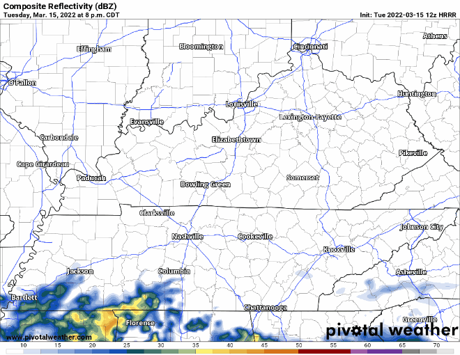
Low pressure sweeps across the gulf causing our area some showers overnight tonight. HRRR model below has showers coming in right after midnight. These continue until about lunch time Wednesday. Perhaps some sprinkles do hang around Wednesday afternoon. No threats are expected to come with this system.
The bulk of this rain tries to stay south of I-40. Davidson county could see rainfall from this event up to 0.1″ and Williamson county could see up to 0.25″.
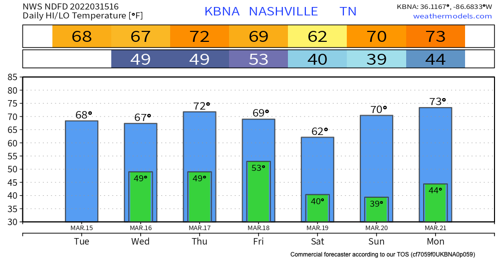
The luck of the Irish is with Nashville as Thursday will be a beautiful day for any festivities. Temps look to get up in the low 70s with temps heading into Friday in the low 50s.
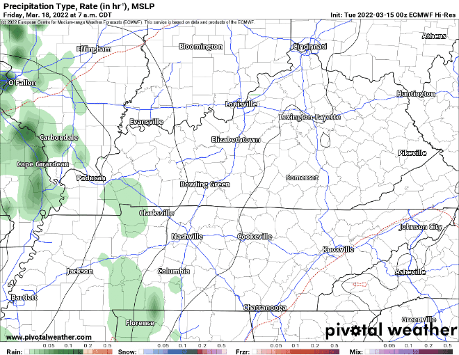
Rain chances return Friday with showers and storms possible mostly in the afternoon time. Euro model below shows rain picking up around noon with possible thunderstorms throughout the afternoon. Scattered showers continue overnight and linger Saturday morning/early afternoon.
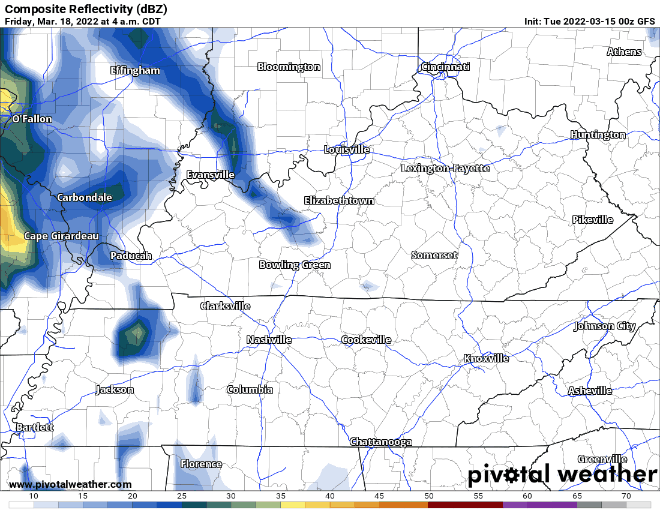
GFS is a little bit more conservative with scattered showers mainly from mid morning to evening. On this model run, no precipitation continues into Saturday.
This event is still a ways out so stay tuned as we get closer. Expect temps to be above average all week teetering around the mid 60s to low 70s.
Quick References:
Weather changes constantly.
Follow @NashSevereWx on Twitter for any changes to this forecast.
Live coverage during tornado and severe thunderstorm warnings:
Look good.
Support the mission.
We are 100% community supported. No ads. No subscription fees. Keep it free for everyone.
Categories: Forecast Blogs (Legacy)
You must be logged in to post a comment.