
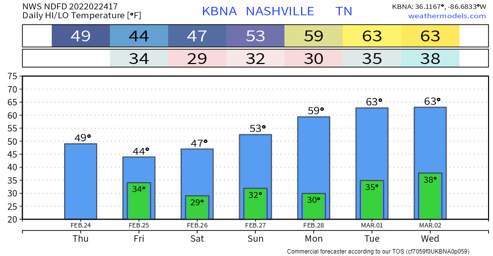
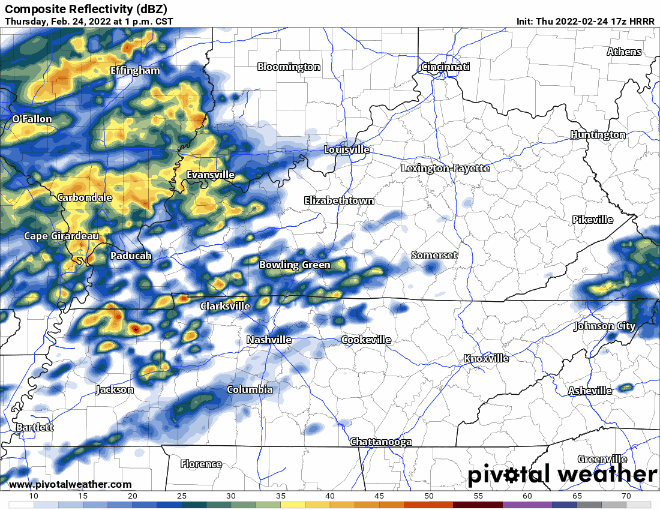
The heaviest of the rainfall is past us. Hit or miss showers rest of today. Under a half inch of rain between now and the wee hours tomorrow morning. Everything should be mostly out by then.
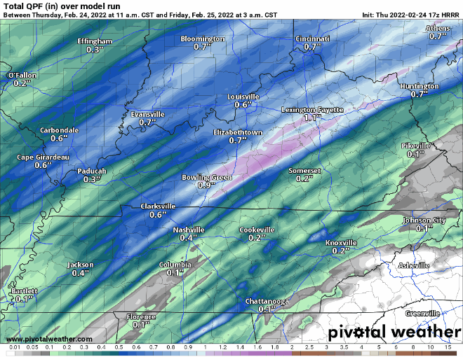
Good news is the ground has more time to accommodate this new rain. But flooding is still possible. Anything that falls is going to easily runoff to already flooded areas. Especially north of I-40 where more rain is expected. We remain under a flood watch until 6AM tomorrow morning.
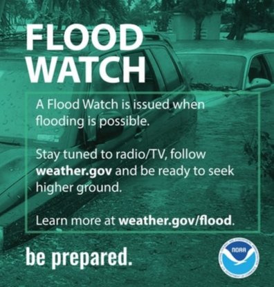
We’re on the back end of the system, but continue to be weather aware. Driving across flooded roadways is fighting a losing battle. Avoid it at all costs!
Look Ahead at the Weekend
Cooler and dry tomorrow. A slow warming trend kicks off Saturday into next week. Slight chance of a rain and snow mix Saturday night. No more than a dusting, if anything. Updates coming later.
Quick References:
Weather changes constantly.
Follow @NashSevereWx on Twitter for any changes to this forecast.
Live coverage during tornado and severe thunderstorm warnings:
Look good.
Support the mission.
We are 100% community supported. No ads. No subscription fees. Keep it free for everyone.
Categories: Forecast Blogs (Legacy)
You must be logged in to post a comment.