
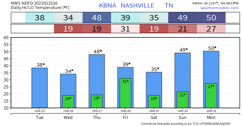
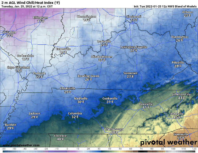
Front is in and out. Cold temps and REALLY dry air are what’s left. Highs this afternoon in the upper 30s, overnight lows in the upper teens. Won’t get too far above freezing tomorrow. Wind chills definitely won’t thanks to winds out of the north.
A good bit warmer Thursday… highs upper 40s. Wind chill will be more bearable. It’ll be short-lived though with another front coming Friday.
Dusting Friday?
Next real chance for precip comes Friday with the front. A few “s-word” flakes are possible. Looks like nothing more than a dusting at this point, if anything.
GFS and Euro show the “dusting” moving through our area around sunrise and out by mid morning.
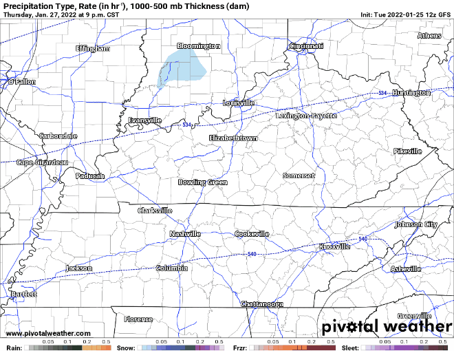
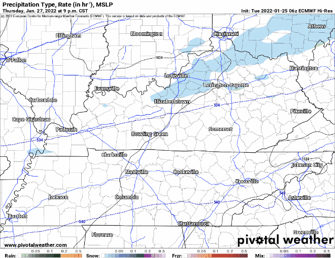
Still some uncertainty in the models. Could be nothing at all. We’ll have more data in the coming days. Big takeaway is that anything that falls will be insignificant.
Quick References:
Weather changes constantly.
Follow @NashSevereWx on Twitter for any changes to this forecast.
Live coverage during tornado and severe thunderstorm warnings:
Look good.
Support the mission.
We are 100% community supported. No ads. No subscription fees. Keep it free for everyone.
Categories: Forecast Blogs (Legacy)
You must be logged in to post a comment.