
Cool, Dry Friday
A layer of clouds sits over Middle Tennessee this morning. The cloud cover may thin at points today to allow sunshine to peek through.

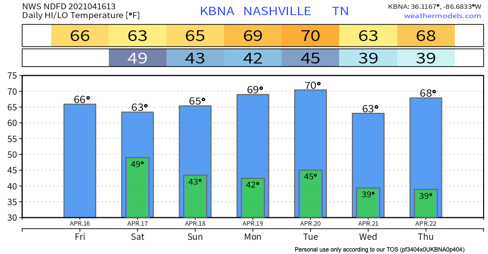
Temperatures Friday will remain on the cool-but-pleasant side of things. High temperatures should reach 66º.
Inconsequential (Probably) Showers Saturday and Sunday
Models agree that some light rain will spread through the area tomorrow morning. It’s not looking like a complete washout. Your ballfields may still be salvageable.
The HRRR shows the showers beginning overnight and tapering off through the early afternoon.
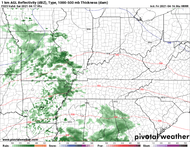
We should be dry by Saturday evening.
Sunday, we do it all over again. Models show some light showers spreading through the area. The rain looks to move in late in the afternoon. It should clear by sundown.
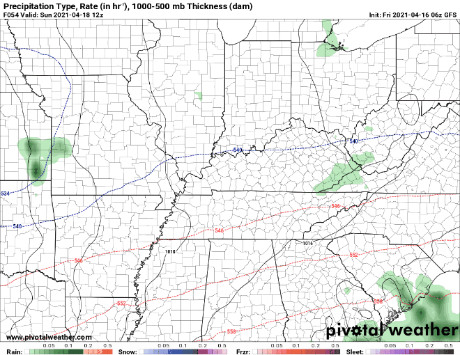
We aren’t expecting significant rainfall totals from either of these weekend events.
Cool Trend Continues Through Next Week
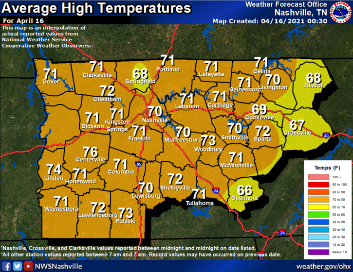
Our temperatures will remain around/below average over the next week. Normal high temperatures for this time of year are about 70º:
The next chance for rain will arrive Tuesday night/Wednesday. Models indicate *maybe* a little frozen precipitation mixed in with the rain.

I wouldn’t bet on that, though. At this point, forecast confidence is low. We will keep you updated as we get closer to the event!
I will leave you with this token of assurance:
With the current pattern of weak troughs and below average temperatures, our severe weather chances look very slim over the next 7-10 days.
-NWS Nashville Area Forecast Discussion
Until then, enjoy the weekend!
Categories: Forecast Blogs (Legacy)
You must be logged in to post a comment.