

Nothing much to talk about today and Tuesday – plenty of sun and warmer temps.
Next Rain Event
We could see a couple showers Wednesday afternoon, but the main event will come through late Wednesday night into early Thursday morning.
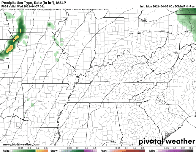
Both the Euro and GFS models agree that a line of showers and storms will begin to push across the area by 9 pm Wednesday. It should be exiting before sunrise Thursday.
Here’s the Euro:
And the GFS:
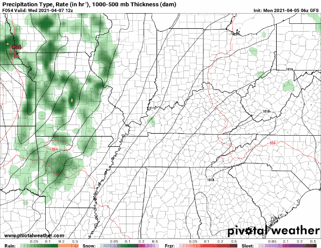
Severe weather is possible to our west and southwest, but looks unlikely for us. However, we can’t rule out a strong storm or two. We could see between an inch and an inch and a half of rain with some locally higher amounts. But no flooding concerns right now with this.
Some Uncertainties Ahead
Another system looks to come through this weekend. However, models haven’t figured out what it means for us.
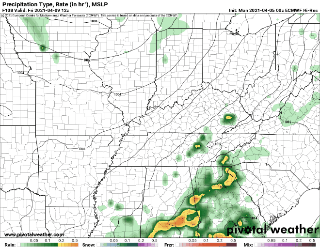
The Euro model has a system entering around 6 am Saturday, departing by 6 pm Saturday.
The GFS, on the other hand, has the system going through late Thursday night and into the early morning hours on Friday. It should clear the area before sunrise Friday, leaving the rest of the weekend dry.
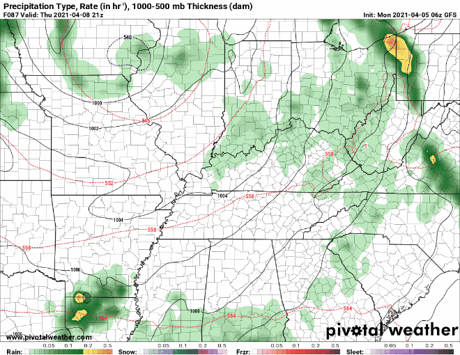
Which is correct? Who knows? We lean Euro but probably both are “wrong.” No severe weather is currently in the forecast with this system.
Categories: Forecast Blogs (Legacy)
You must be logged in to post a comment.