
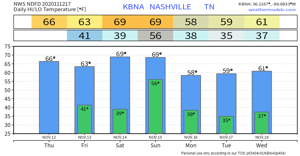
Cooler Thursday
In case you missed it: a cold front went through the area yesterday.
Clouds have moved out of the area, leaving lots of sunshine behind!
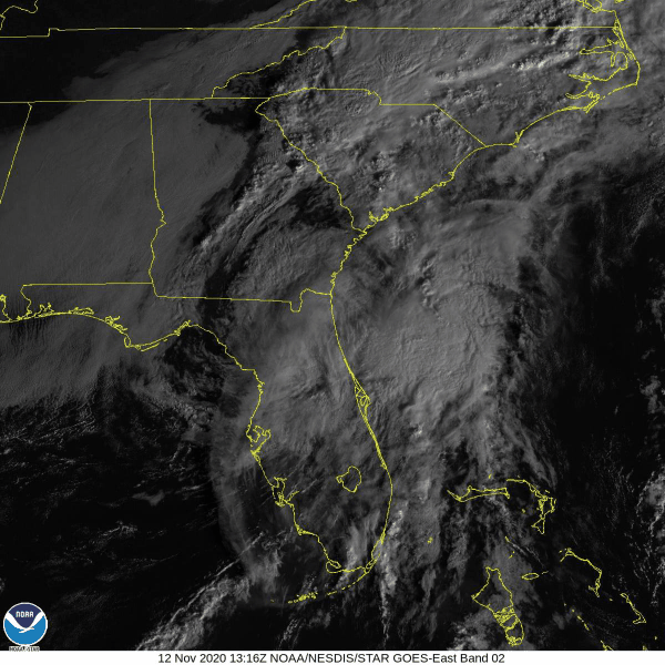
Here’s some satellite imagery showing those clouds moving to our southeast.
It will be slightly cooler today with highs near 66°.
Showers Possible This Weekend
The sun will stick around Friday and into Saturday afternoon. Highs will be in the mid to upper 60s.
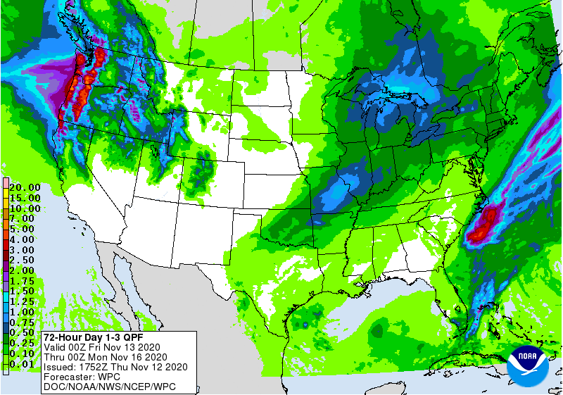
Another cold front will be making its way through the area Saturday night into Sunday morning, bringing some showers with it.
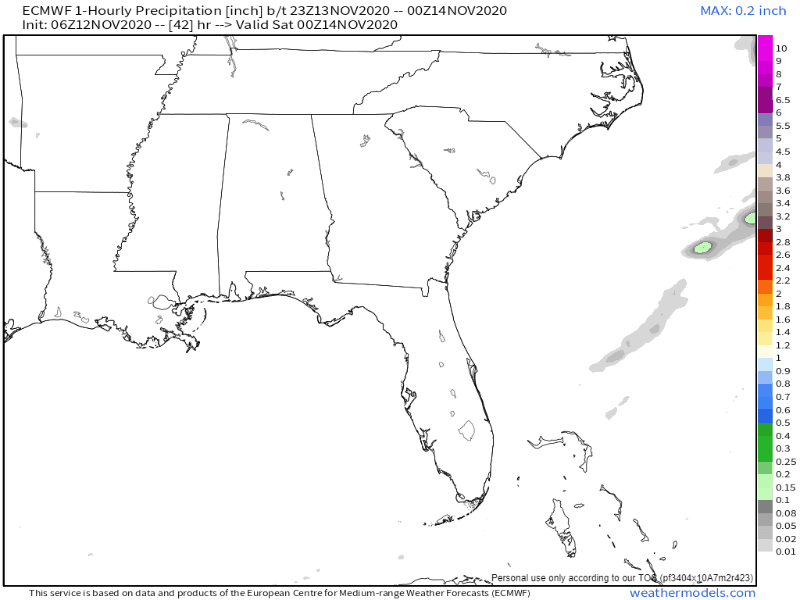
Any chance of rain should come between 1 am and 1 pm Sunday.
Up to a quarter inch of rain is possible.
Frost Next Week?
Here’s what the National Weather Service has to say:
Both Tuesday and Wednesday mornings look to be our next round of frost and/or freezing temperatures across Middle Tennessee, but does not appear we will get as cold as we saw back on Nov 2-3 with widespread upper 20s and low 30s.
NWS Area Forecast Discussion
By Monday morning, we could see lows in the upper 30s.

Highs Monday and Tuesday will be in the upper 50s, but will cool into the mid to upper 30s overnight.

Categories: Forecast Blogs (Legacy)
You must be logged in to post a comment.