
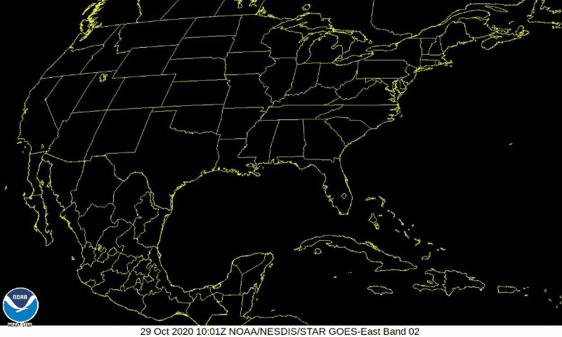
Zeta moved to our south last night, bringing us around an inch of rain and some wind. It has already quickly moved into North Carolina and Virginia this morning.
Here’s a cool satellite image showing the storm heading towards the northeast!
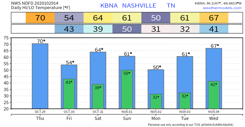
16°
That’s how far the temperatures are going to decrease throughout the day.
It’s going to be warm this morning, which will help to spark some fog. Temps are expected to reach 70° by 10 am.
Temps will gradually decrease throughout the afternoon, reaching 54° by 7 pm.
We should see the sun break through some today, but don’t be surprised if some of the remaining clouds drop some additional light showers.
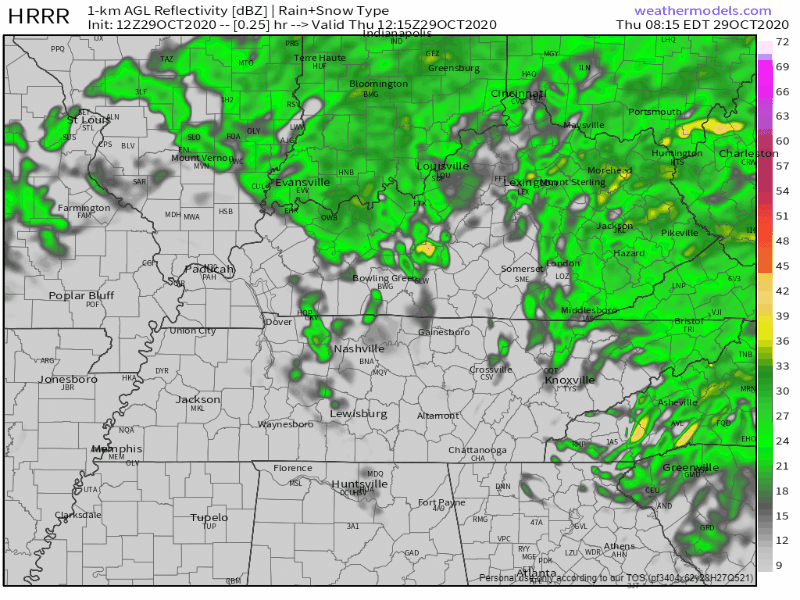
This afternoon, winds will turn to the west and become gusty.
Cool and Sunny Friday
We’ll start out with some clouds Friday morning, but they will clear out by the afternoon.

It will be cooler Friday: high temps will be near 54°.
Clear conditions will continue into the overnight hours with lows near 39°.
Trick or Treat!
We’ll definitely be getting a treat this year!

There will be plenty of sunshine throughout the day and high temps will be getting into the low to mid 60s.
You may want to grab a jacket on the way out the door Saturday night: lows will be dipping into the lower 50s.
You May Want to Crank Up the Heat…
Another cold front will be coming through Sunday night.
According to the National Weather Service:
The coldest air of the season looks likely behind the cold front. We could be dealing with the first freeze of the season for much of the area Monday morning.
NWS Area Forecast Discussion

If you have any plants that could be harmed, you may want to cover or bring them inside.
We could also see some widespread frost Tuesday morning.

Categories: Forecast Blogs (Legacy)
You must be logged in to post a comment.