
Drier Saturday, but Looking at High Dew Points (Still)
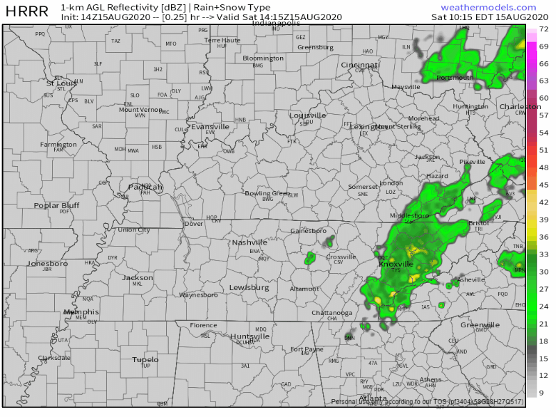
The HRRR is showing much of the rain staying in the far east portion of the state today.
We can’t rule out a stray shower or storm rolling into your backyard late this afternoon, but we should be looking at some drier conditions.
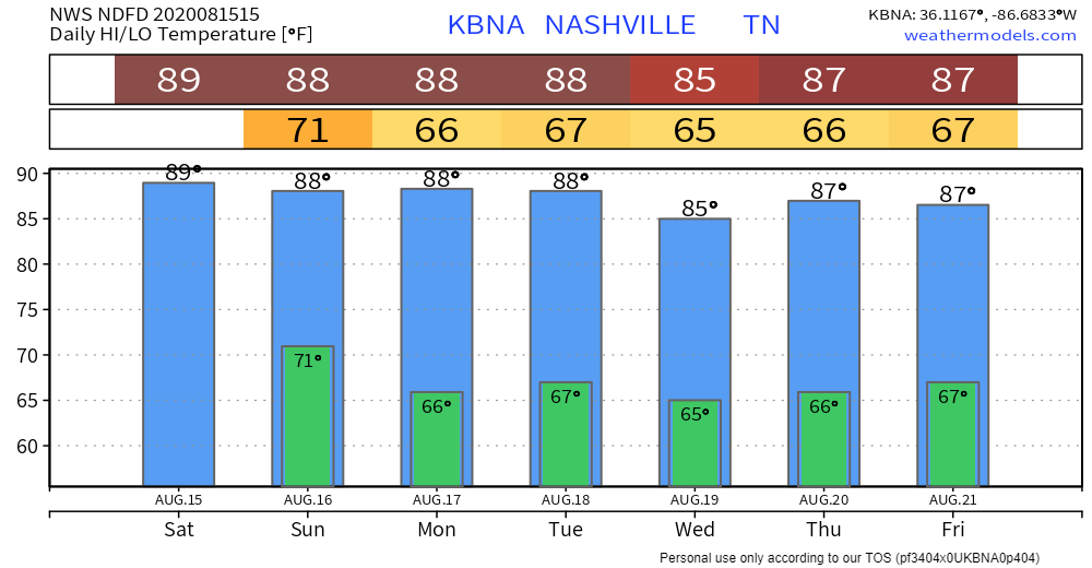
Highs will be around 90° with dew points in the lower 70s for the day. Heat index values are only looking to reach the lower to mid 90s this afternoon.
Slight Chance of Rain Remains Through Sunday
Key word: slight.
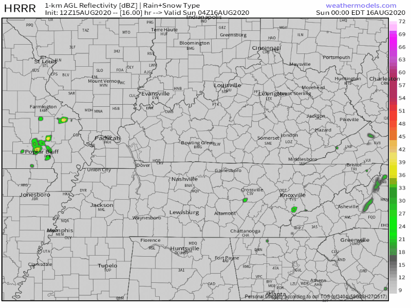
A front will will be coming through the area tomorrow afternoon, which will bring some showers and storms. The HRRR shows them beginning to pop up around 3 pm.
There’s currently no severe weather in the forecast.
Some people may get wet while others don’t see a drop of rain. If you have afternoon plans, keep that radar handy in case something is to develop.
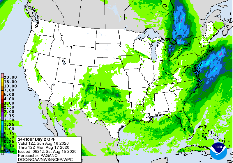
It doesn’t look to be a washout. The Weather Prediction Center is predicting around a tenth of an inch of rain to fall, but there could be locally higher amounts with some storms.
Before that cold front hits, it’s still going to be hot and muggy. Highs will be in the upper 80s and dew points in the lower 70s.
However, after it passes, dew points will begin to drop into the lower to even possibly mid 60s overnight.
We’re Finally Getting a Well-Deserved Break from the Humidity Starting Monday

High temps and dew points will both begin to drop next week. Here’s what the National Weather Service had to say this morning:
For the ext temps, with the troughing pattern anchoring in, looks like temperatures will run a couple degrees below normal. At any rate, expect a little break from the oppressive humidity that comes with those 70+ dewpoints.
NWS Area Forecast Discussion
Highs will stay in the upper 80s, but dew points are dropping into the mid to upper 60s. It will still feel a little sticky outside, but definitely a lot better than it has been!
Categories: Forecast Blogs (Legacy)
You must be logged in to post a comment.