
The precipitation is over but the cold air is sticking around. Wind chills will keep us feeling near/below freezing.
With clearing skies overnight, temperatures will fall to 20º Tuesday morning.
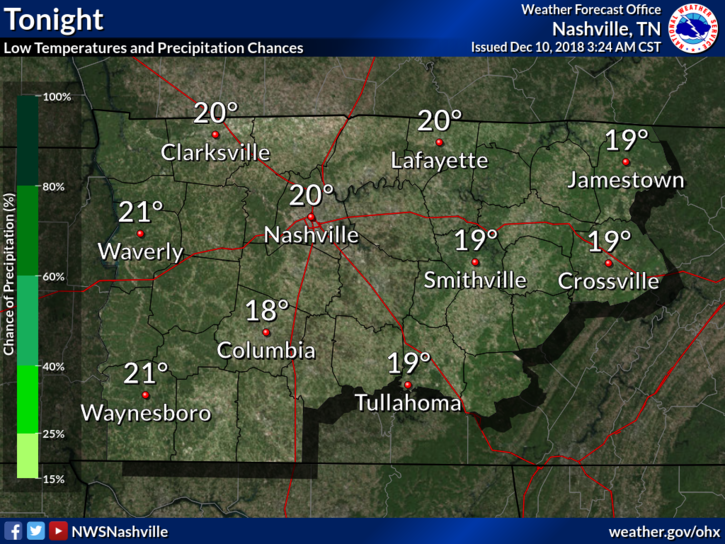
Add that north wind and . . . Bundle up!

Beyond the Cold

A surface high-pressure system will begin to build in, moderating temps nicely, approaching 50º Tuesday afternoon, breaking 50º Wednesday afternoon.

The only downside? This high-pressure’s influence will end just as fast as it begins.
Clouds will be on the increase Wednesday night with rain chances returning during the overnight hours into Thursday morning. Rain chances Thursday are pretty low, though.
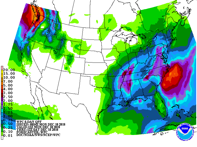
A front will approach on Friday — that’s when we should see a steady, soaking rain — with rain lingering into Saturday.
No snow or frozen precip expected. Rainfall totals through Saturday morning will be around 1″.
Temperatures are looking mild through Saturday. Afternoon highs will be in the 50°s with morning lows in the 40°s. Low temperatures will fall back into the 30°s by early next week.

Categories: Forecast Blogs (Legacy)
You must be logged in to post a comment.