
Freeze Warning in effect from 11 PM Friday Night to 11 AM Saturday Morning
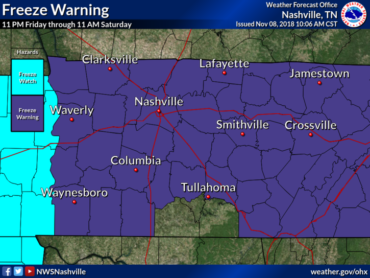
Friday’s overnight temps could fall into the mid/upper 20s, bringing a hard freeze to Nashville.
Rain Chances Increase this Evening
Afternoon rain chances are low ahead of another cold front slated to push through the midstate this evening.
Expect clouds to increase this evening ahead of inbound rain.
High temps will vary in the mid 50s before dropping into the upper 40s overnight.
Cold Front Passing on Friday
Next rain chance is brought to us by an upper level trough. Rain will begin early Friday morning, making for a soggy morning commute. On and off rain showers all morning will taper off by mid afternoon. Evening hours should be dry.
High temps could touch the 50° mark, but once this front passes our temps will fall dramatically into the low 30s (Freeze Warning) by 10 PM.
Below is the Nam 3km model’s take on the rain.
Weekend Freeze
Saturday and Sunday will be downright cold with morning temps in the upper 20s. Our temps will warm into the mid mid 40s on Saturday and into the mid 50s on Sunday.
Our NWS believes the weekend will be dry with clear skies, but there will be enough moisture at the surface for some frost Saturday morning and widespread frost Sunday morning.
Early Week Rain
Another cold blast of air will make its way down through the Great Plains on Monday and Tuesday. Temps will fall close to freezing again by midweek.
While this system will bring cold air and rain, there is a low likelihood of a few snowflakes in the mix.

Categories: Forecast Blogs (Legacy)
You must be logged in to post a comment.