
Tonight
We have some storms moving into middle Tennessee. These will hang around late tonight into early Sunday morning.
Both our HRRR and NAM 3-km models are in disagreement – lending to uncertainty for tomorrow.
Rain/Storms Possible Sunday Afternoon/Evening
Temps and dewpoints are on an upswing as south winds bring in moist, gulf air.
The high on Sunday will climb into the upper 80s. Dewpoints will slowly creep into the low 70’s – definitely uncomfortable, could be oppressive.
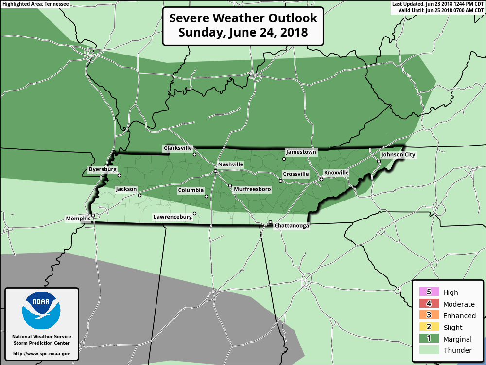
The SPC placed us in the marginal risk for Sunday as well. They think there is a 5% chance of seeing a severe storm within 25 miles of you.
Overnight showers/storms will leave our atmosphere charged through Sunday. A weak shortwave could pass through middle Tennessee tomorrow afternoon , sparking showers and storms in the afternoon/evening.
Next Week
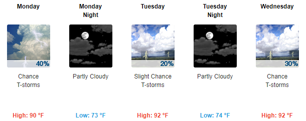
The work week looks like it’s back to normal. A chance of rain/storms every day – looks like summer.
Highs will begin climbing closer to our normal summertime temps. By the end of next week, the highs will be in the mid 90s.
Follow over at @NashSevereWx on Twitter for updates to our forecast!

Categories: Forecast Blogs (Legacy)
You must be logged in to post a comment.