
Friday’s Skies are Clearing
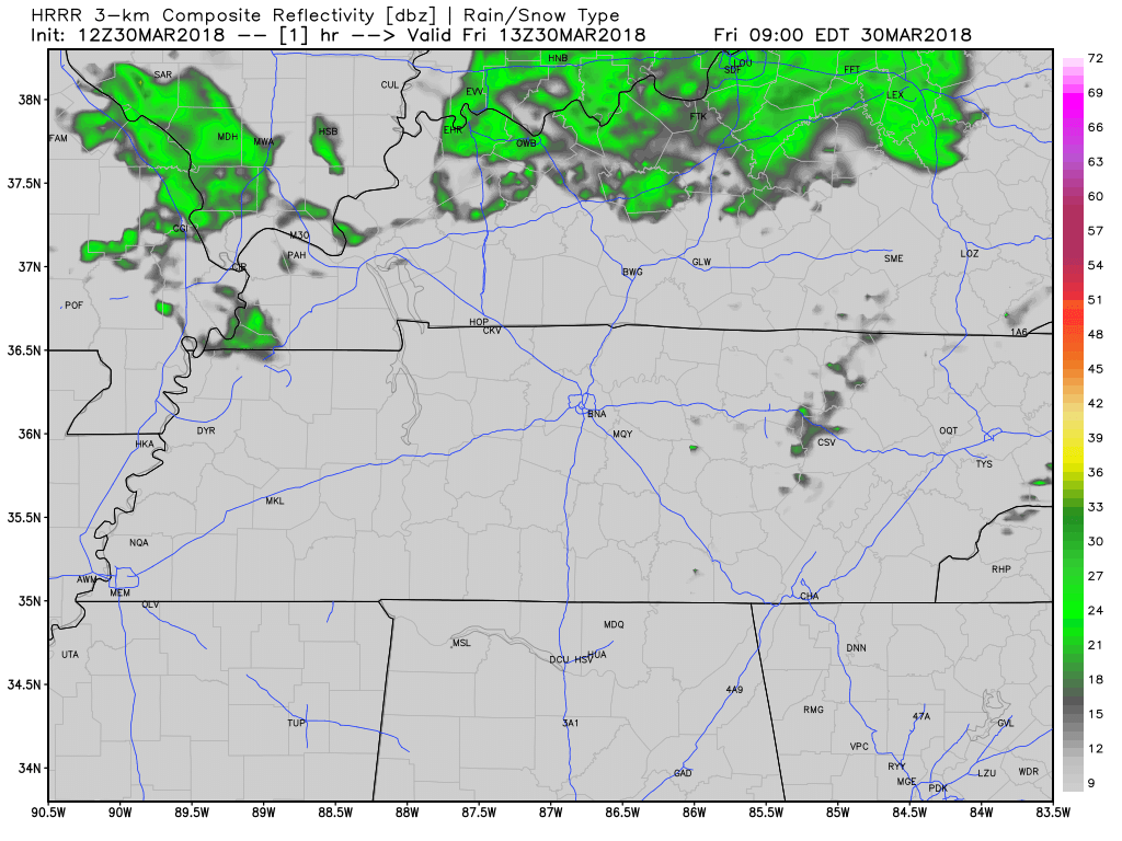
HRRR 3-km shows the expected radar through today and into early Saturday morning. High pressure is building in behind the low pressure system that has been bringing us so much rain. The showers from this morning have moved out, and clouds should break up into the afternoon and evening hours. Winds will continue to die down too.
Sunshine on Saturday
Yes, it’s true! We could see a Saturday with sunshine!
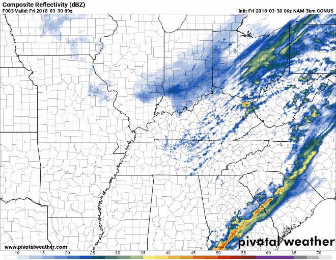
Due to the timing of the most recent frontal passage, rain will be staying away for most of the day this Saturday. Clouds will move back into our area into the evening as chances of rain will return into the night. The 3-km NAM believes rain chances pick up during the late evening Saturday.
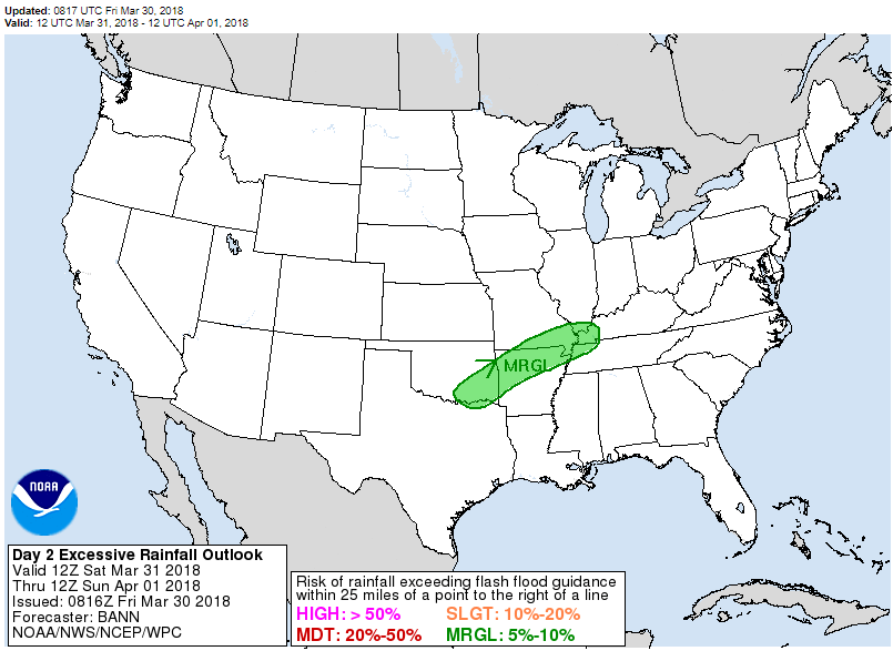
The Weather Prediction Center doesn’t think we’ll get enough rainfall through Sunday morning to cause flash flooding issues in Davidson or Williamson Counties.
Easter Sunday

The front moving into the area on Saturday will stall over Middle Tennessee. Rain can be expected on Sunday due to this front, but no severe threat is expected. Temperatures on Sunday will be in the low to mid-50’s as overcast skies keep the daytime air cool.
Monday and Tuesday
The front stalling Saturday will be sticking around through Monday and Tuesday. Plenty of moisture will be available for pop-up showers throughout the area, although none will be severe. Temperatures will rise during periods of broken clouds, but once the front passes Tuesday, it could feel cool again on Wednesday.

Categories: Forecast Blogs (Legacy)
You must be logged in to post a comment.