Current Radar
Tonight: Warm, Mostly Clear Skies – 80º by 8PM

Not too bad for a September night. Again, much like last night, where it’s probably not bonfire material yet. Temps will fall through the 70s after dark sets in.
Sunday: Need More Vitamin D? Sunny Again! – Early 66° High 92°

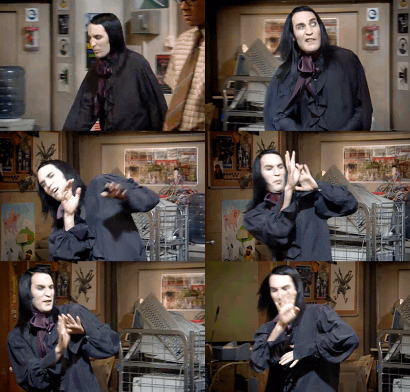
Certainly not very good for the vampires out there. Temperatures during the afternoon will reach the lower 90s again, and we will introduce a slight uptick in humidity levels. This may push the “feels like” temperature into the middle and upper 90s, but either way, it’ll be plain hot.
Extended Outlook: Cold Front, Rain Chances, Then Cooler!
Monday will bring the approach of a pretty potent cold front to the area. This system won’t be tapping into a whole lot of Gulf moisture, so we don’t expect a lot of rain. Regardless, showers and thunderstorms will be possible out ahead of this front on Monday and then…

What’s cooler than bein’ cool?
High temps in the 70s by mid week and lows dipping way down into the 50s! I wouldn’t be surprised to see a few spots in the upper 40s Wednesday morning.
Allergy Report: 5-Day Pollen.com Forecast
This website supplements @NashSevereWx on Twitter, which you can find here.
Categories: Forecast Blogs (Legacy)


You must be logged in to post a comment.