
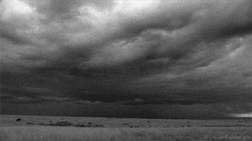
Current Radar
Rain Ending Tonight
The rain should pull away by 9 PM. Here’s the HRRR’s prediction:

Notice the snow at the TN/KY line. As the precip moves out, there is a possibility we’ll briefly see a little sleet/snow mix north of I-40 tonight — we are already below freezing at 5,000 feet. No local accumulation or travel problems expected.

Wednesday – Cloudy, Dry – Early 33°, High 43°
Freezing fog may be a problem late Wednesday night, but uncertainty about cloud cover (or lack thereof) makes this a hard call right now.
Thursday – Sunny & Warmer – Early 29°, High 55°
Rest of the Week
Finally, some warmth, but rain appears increasingly likely Sunday and Monday.
This website supplements @NashSevereWx on Twitter, which you can find here.
Categories: Forecast Blogs (Legacy)