Current Official Hourly Observation (taken at :53 on the hour)

Current Radar Loops
![]()

Remember yesterday when we said we would get “1.2 inches of rain” today?

We got 0.58″. So, that would be less.
Counties along I-20 in Alabama and Mississippi got a lot more. Several areas saw flash flooding.

Tonight – Cloudy and a Bit Chilly — 46 at 10 PM
Maybe a random shower, but no more measurable rainfall is expected.
Tuesday – Weak Rain & Thunderstorms – Wake Up 43 / Afternoon High 62
Below is the GFS Surface Level Pressure and Precipitation model. It says we’ll stay dry until after noon Tuesday.

Rain chances return after 1 pm. Blame a mid/upper level disturbance that will move through Tuesday afternoon and into Tuesday night. This system won’t have much low level moisture to work with. Rain totals will be modest — around 0.10″ or so.
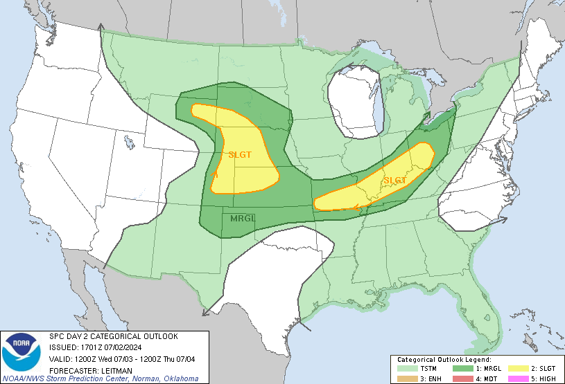
The Storm Prediction Center (see below) thinks we may see a few #Thunderboomers, but no strong or severe storms are expected.

Wednesday – Clear & Sunny – Wake Up 40 / Afternoon High 63
A northwest wind will keep this from feeling “warm,” but this will certainly be an improvement from the beginning of the week.
By Thursday, the wind should be from the south, warming us up!
Official Extended NWS Forecast

This website supplements info @NashSevereWx on Twitter.
Categories: Forecast Blogs (Legacy)


You must be logged in to post a comment.