Yesterday, a devastating tornado struck Moore, OK (pop 56,315), which is south of Oklahoma City. This is the same area hit by an historic tornado on May 3, 1999. Early/preliminary reports indicate this tornado may have been worse. The NWS in Norman preliminarily rated it an EF-4.
Click here to give money to help:
Tuesday – 68/89
Rain and a few thunderstorms are expected this morning. We do not expect severe weather. Rain and thunderstorms will return tonight.
Tuesday Night & Wednesday (67/83) – Rain & Storms
A cold front is approaching from the west. We will probably see thunderstorms late Tuesday night and into early Wednesday morning, although this morning’s storms may help reduce the strength of tonight’s storms.
Although this is the same system which produced tornadoes in the Plains (including the Moore, OK tornado), forecasts indicate the system will be much weaker when it arrives here.
Models weaken the storms as they approach Wednesday morning:
GFS Wed 7 am – storms weaken upon arrival:

NAM Wed 7 am – Agrees with the weakening

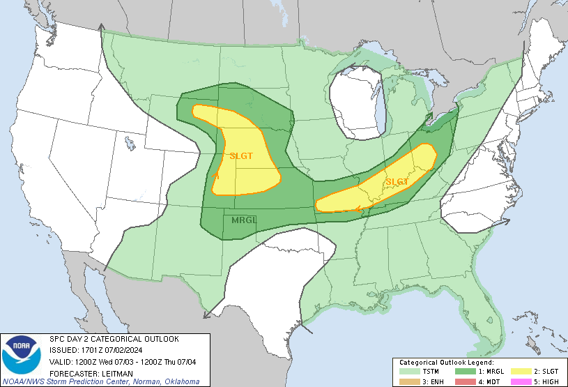
Large hail and damaging winds are our main threat. Notice how the Storm Prediction Center keeps the risk of severe weather just to our west:

We will keep an eye on this. SPC keeps pushing that “Slight Risk” area closer to us.
Wednesday looks pretty wet. Rain may even linger into Thursday (65/81), but this weather system should squeeze only about 0.75″ (total) of rain through Thursday morning:
 Nice Weekend
It’s too far away to say for sure, but it looks like we will have great weather Friday – Sunday. No rain. Seasonal temps: lows in the low 60s, highs in the low 80s. Perfect for pig roasts, fishing, or long outdoor poetry readings.
Or, for sending money to Moore. It’ll be a good weekend for that:
(all model data from WeatherBell.com)
Categories: Forecast Blogs (Legacy)

