
Today
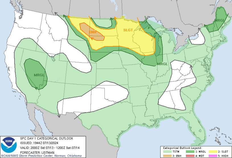
At 2:55pm, the Storm Prediction Center moved the Slight Risk area north, and out of both counties. Some risk of severe weather remains. First, here’s the updated Slight Risk area:
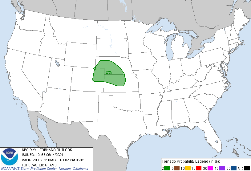
The 2% tornado risk — meaning there is a 2% chance of a tornado happening with 25 miles of you — remains:
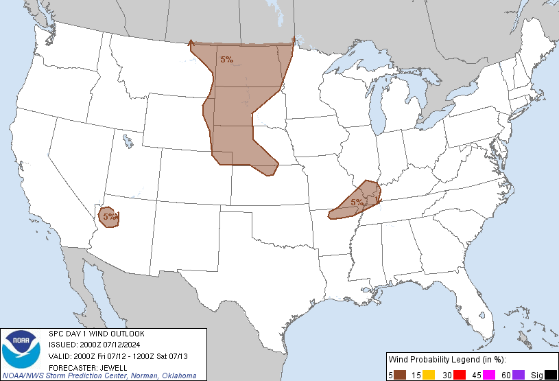
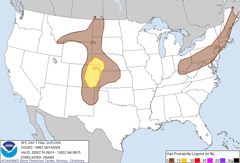
The probability of winds over 58 mph and hail over 1″ happening within 25 miles of you shrank from 15% to 5%.
There are currently no watches or warnings in effect for us, although as of 2:54pm the Storm Prediction Center said there is a 40% they will issue a Severe Thunderstorm Watch to our north.

We still think isolated to scattered storms will develop this afternoon into the early evening. They’ll be hit or miss. I would not cancel outdoor plans, but I’d have an umbrella with me.
Wednesday – Friday
The high Wednesday and Thursday will be 83. Friday’s high is 64.
We may see thunderstorms Wednesday afternoon as well, but right now we don’t think those will be severe.
While we sleep overnight into Friday morning, a cold front will shove a line of thunderstorms across middle Tennessee. Confidence is low those storms will be severe because they’ll be coming through during the early morning hours. Rain should be gone by mid-afternoon. If the timing changes, so will the severe concerns.
Look for just over 1″ of rain Friday.

The weekend looks cool and dry. High temps 63 Saturday, 70 Sunday.
Categories: Forecast Blogs (Legacy)