Temps will climb into the 80s, with increasing humidity. Wednesday and Thursday will feel more like summer than spring. With that comes a decent chance of afternoon pop-up showers, or maybe a thunderstorm. There are two chances of severe weather: Tuesday and Thursday night into Friday morning.
Tuesday
This afternoon the Storm Prediction Center included us in their Slight Risk outlook for severe weather tomorrow (Tuesday):

There is a 15% chance of severe weather within 25 miles of you. Straight line wind damage is the main concern. We will have plenty more details on this later tonight.
Storms Thursday Night – Friday Morning
Our NWS said:
- Strong to locally severe storms possible
- Not looking like a major outbreak at this time
- Timing still in question
- Locally heavy rain expected
This system is similar to what we saw last Thursday. Some severe weather ingredients will be there, others will be lacking. The timing and wind fields do not favor an outbreak of severe weather, but if that changes (for example: if the front speeds up), the threat level will change, too. Our NWS is keeping a very close eye on it.
The Storm Prediction Center’s severe weather outlook for Thursday includes west Tennessee. We are excluded, but near enough to pay close attention this week.

Expect around an inch of rain. That’s less than what we got with the storm system last Thursday.
The Weekend & Next Week
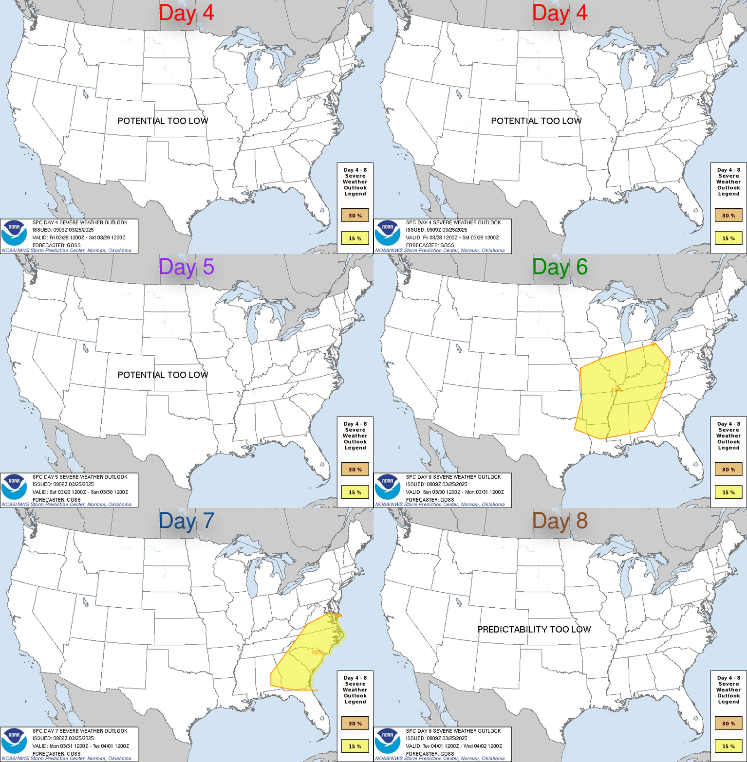
Noticeably cooler. The weather pattern looks relatively benign, especially considering we are in the peak of severe weather season.
Categories: Forecast Blogs (Legacy)
