Concern rising for severe storms Tuesday. Damaging straight line winds, and/or large hail, and/or tornado.
Rough ETA Tuesday late morning until dark.
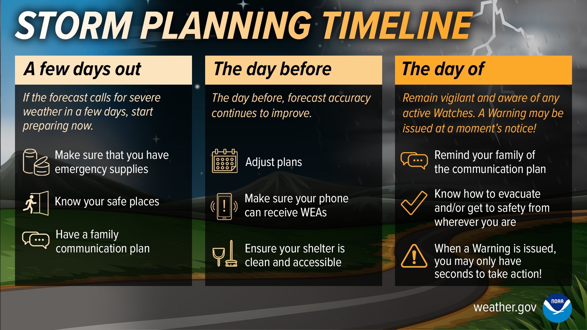
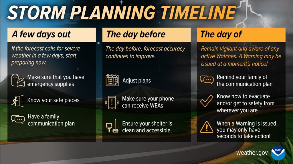
Review severe weather plans today.
Tuesday severe summary from NWS-Nashville:

Concern rising for severe storms Tuesday. Damaging straight line winds, and/or large hail, and/or tornado.
Rough ETA Tuesday late morning until dark.
Review severe weather plans today.
Tuesday severe summary from NWS-Nashville:
Planters: another frost/freeze possible mid/late next week.
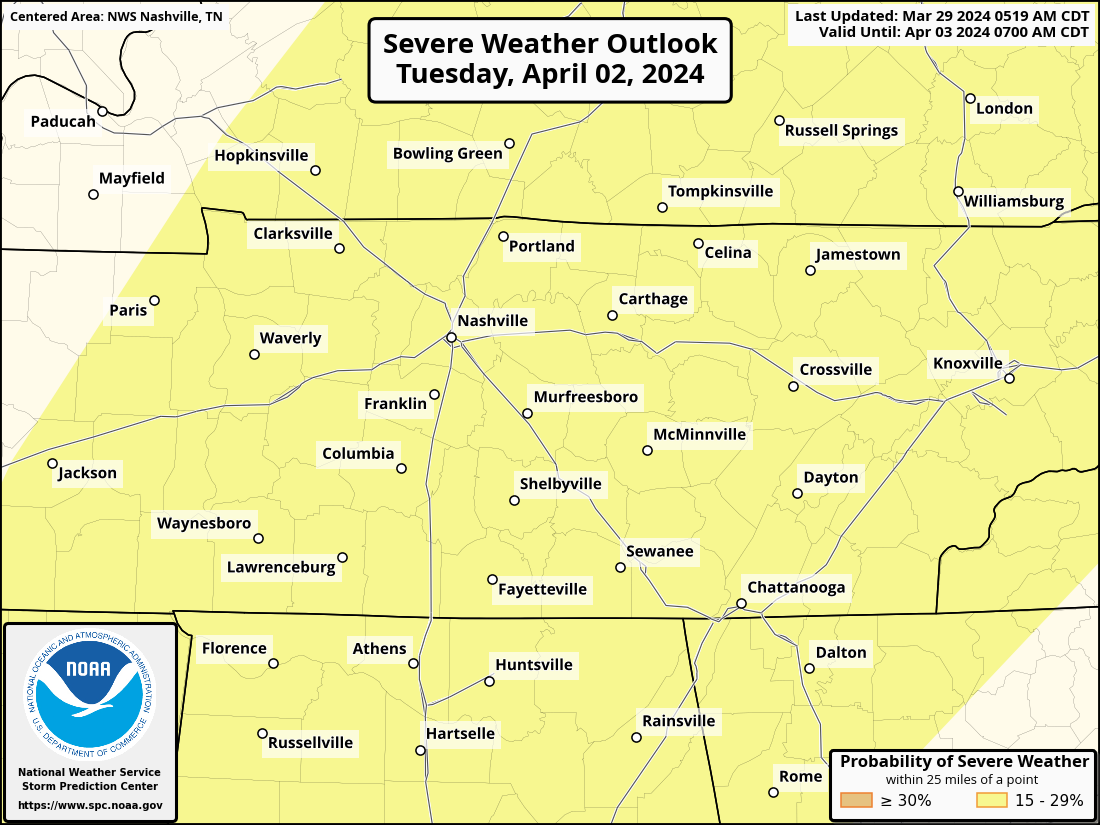
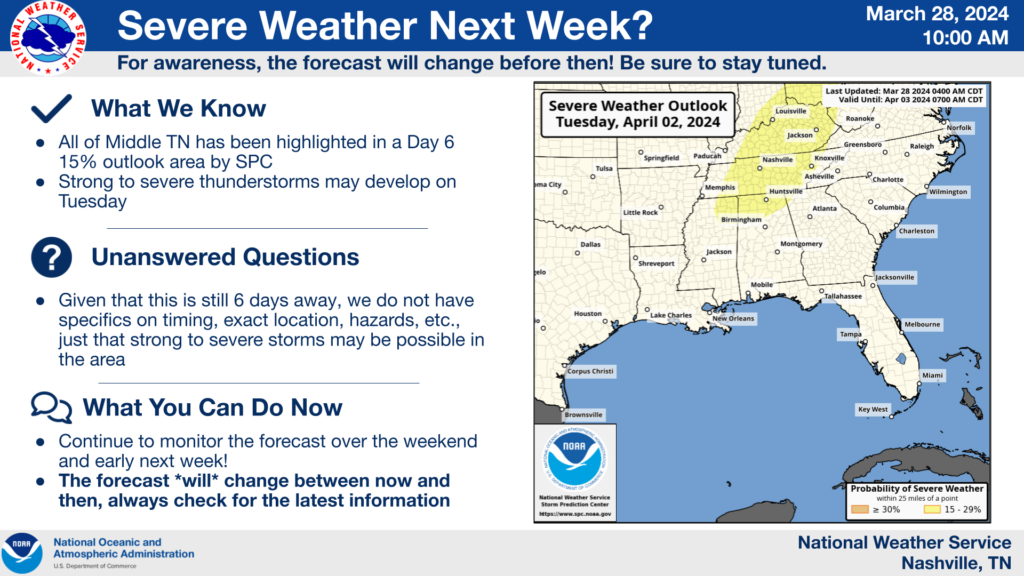
SPC continues to have us outlooked for the possibility of severe weather on Tuesday. Currently a 15% chance of severe weather within 25 miles of you. This will be revised in coming days.

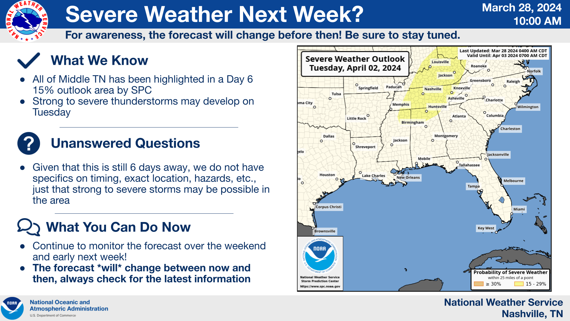
Watching early next week for some potentially bumpy weather. Few/no specifics available at this point. Currently, a 15% chance of seeing severe weather within 25 miles of you. Stay tuned.
Thursday – tomorrow morning – from 3A – 9A. “Frost could harm sensitive outdoor vegetation. Sensitive outdoor plants may be killed if left uncovered.” -@NWSNashville
Wed Thursday ✅
Latest updates this evening/overnight will be over on X (Twitter) @NashSevereWx. See you there!
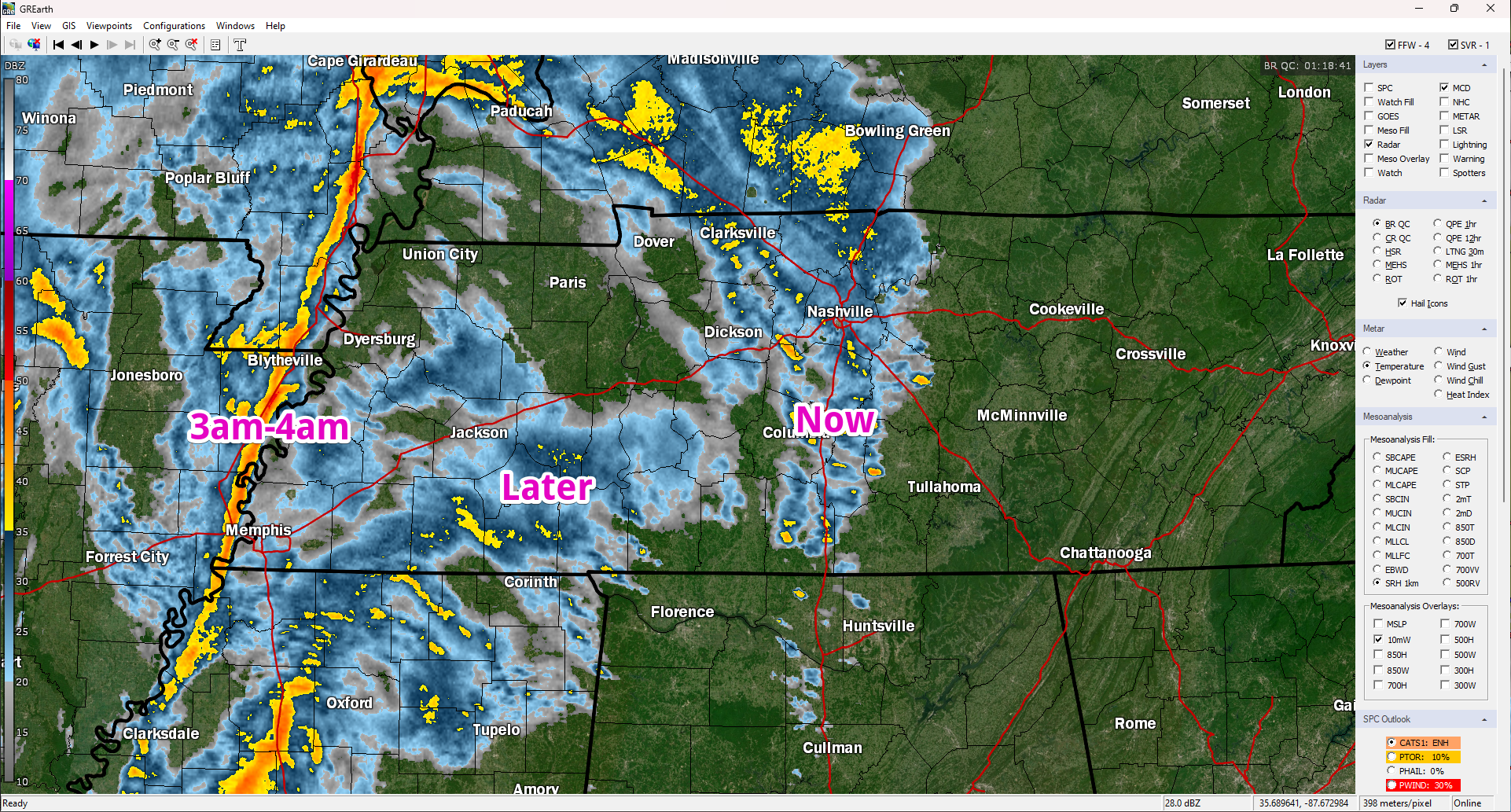
Next round is light rain. After that, weakening storms. No svr weather.
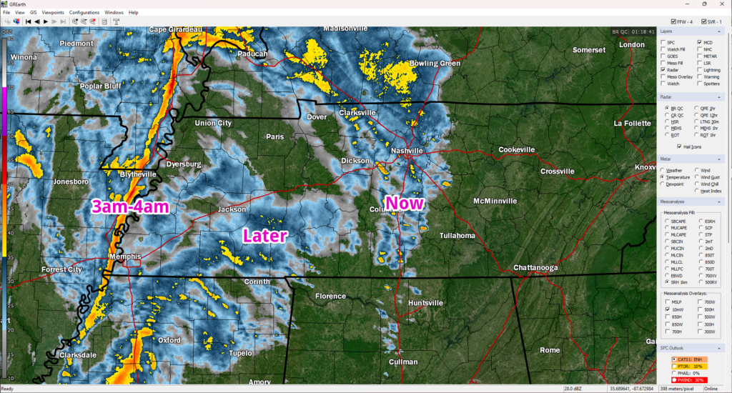
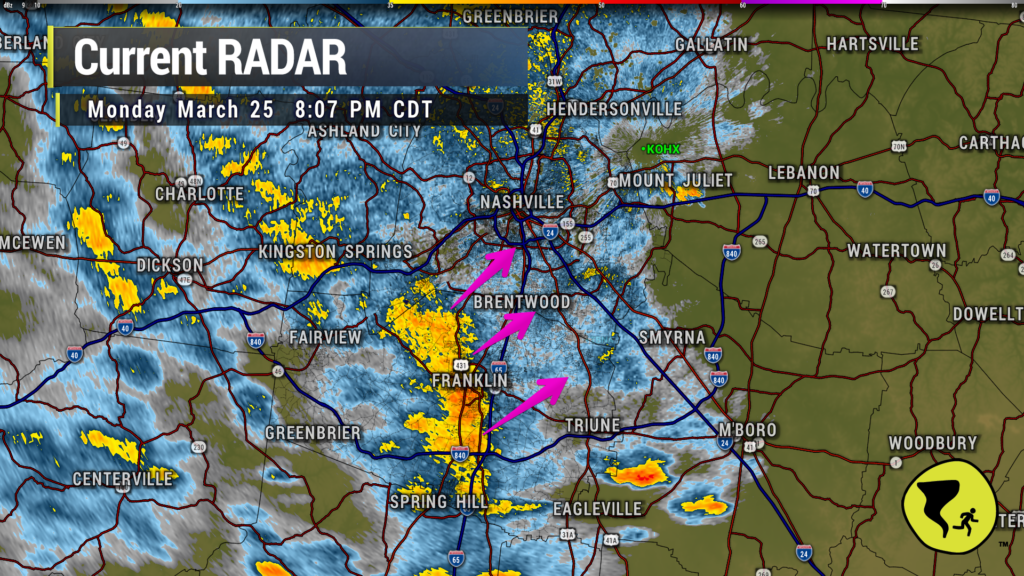
Some heavy rain coming through Franklin. Brentwood and Nolensville next. Then, a break of sorts. Still expecting additional storms later that are about to cross the MS River into W TN.
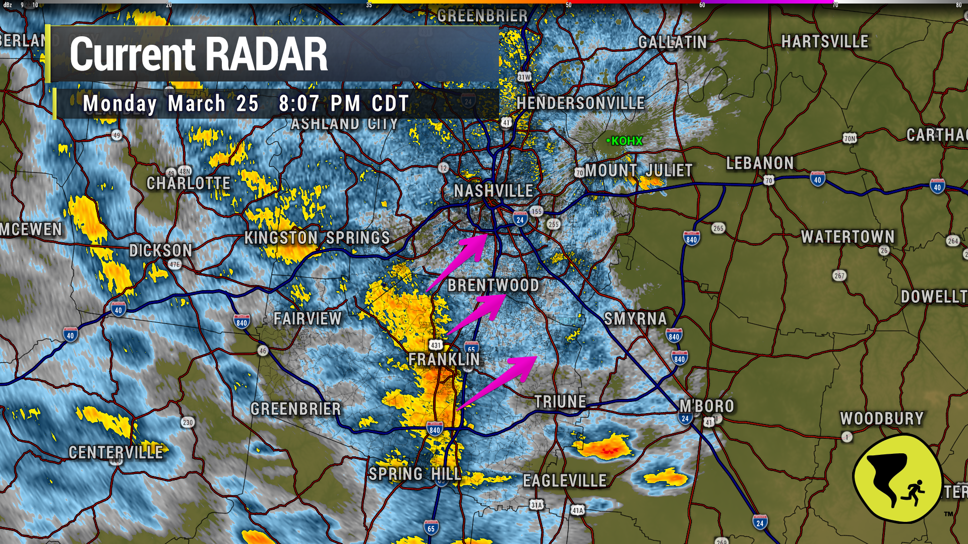
This is a lot of lightning for not very much rain. Most of it is CG so head inside (cloud to ground). 752 PM
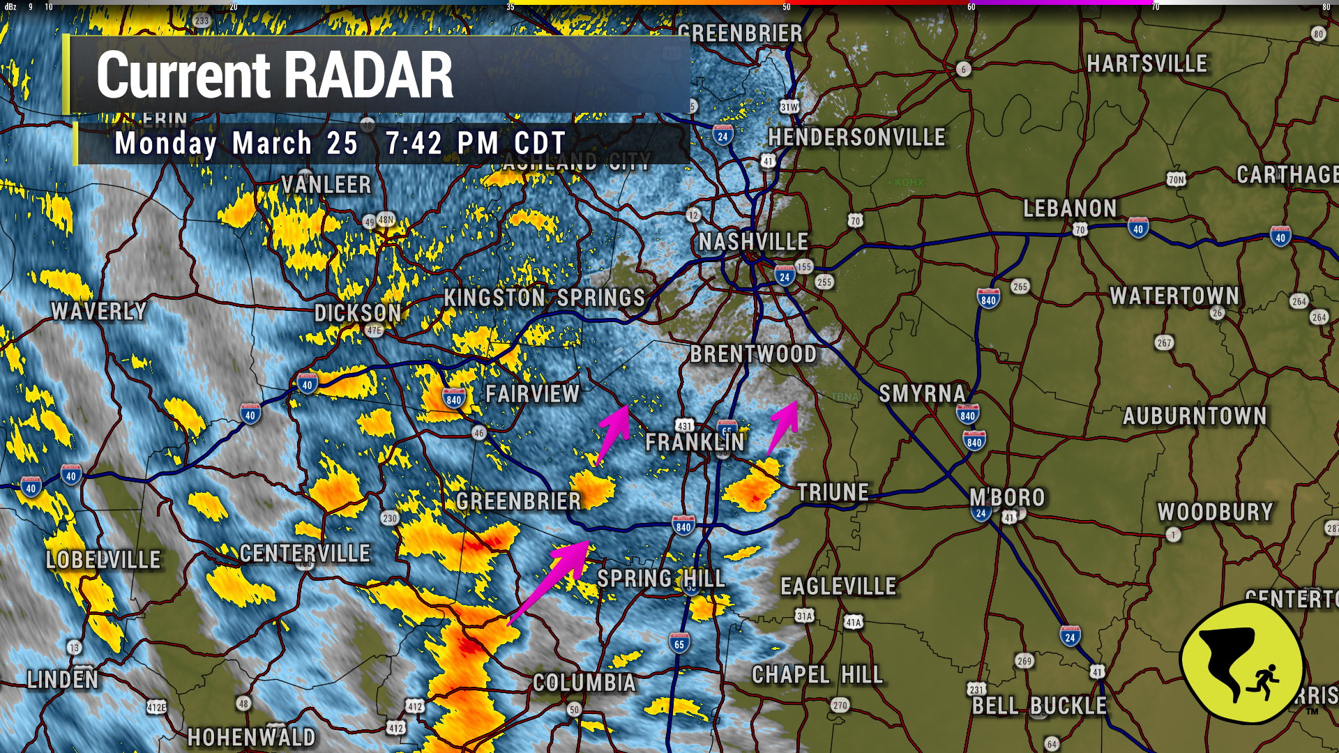
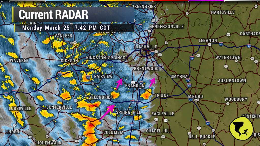
Couple of heavier downpours approaching Nolensville, Brentwood and W Franklin. Just a good ole regular thunderstorm. We like being able to say that. 7:42 pm
You must be logged in to post a comment.