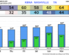
Nice Friday in store for us, dry with highs nearing 60°. Although we cool down a good bit this evening, so you’ll want a jacket for any plans later on in the day.
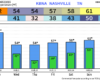
The first half of Saturday will be a near copy and paste of today; any Valentine’s Day plans look good thru lunchtime.