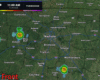
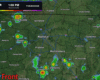
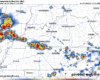
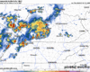
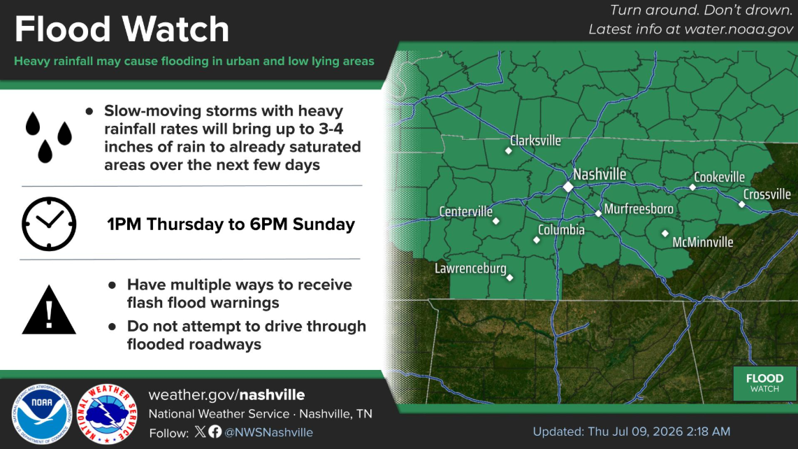
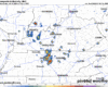
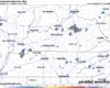
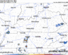
A Return to Rain

Monday:
A few storms could bubble up before lunch and hang around through the afternoon. They’ll be hit‑or‑miss—so you might stay dry, or you might catch a quick downpour with small hail. Keep the umbrella and the radar handy, just in case. No big tornado vibes here, but gusty winds could knock small limbs around. read more

Watching Storm Potential Monday + Tuesday

Nice weather today and most of Sunday. Although a few of us may see a quick shower/storm Sunday afternoon, I think majority of us get by with a dry weekend. Highs in the mid 80s.

Not much of a break from storm chances as they return to the forecast on Monday. read more

Low Probability of a High Impact Event Today

Morning round of storms has mostly stayed off to the north – and probably will stay that way. I could see us being dry thru this afternoon, or later. Although can’t totally rule out an isolated storm. read more

All Modes of Severe Weather Possible Friday

Today will be hot and (probably) dry. Very, very, very low chance of storms thanks to a “cap” in place – which is just a layer of warm, stable air aloft. Highs near 90°.

Friday morning we could see some showers/storms move thru, most likely between 3a – 9a. Gusty winds, small hail and lightning not out of the question with these. Allowing some extra time for the AM commute not a bad idea. read more

Severe Weather Possible Friday

A storm may pop this afternoon but the HRRR is clear. Storms more likely east of us. Small hail and gusty winds the potential hazards. We are not severe outlooked.

  1. Heat and Humidity Thu-Fri. Temps near 90 with dewpoints mid to upper 60s. Summer peeking out of the gopher hole.

2. HRRR has storms Thu PM rush hour. May go north, maybe not. We’ll watch this. No severe expected here. Lightning, heavy rain instead. read more

Severe Storms Possible Friday.

  1. Scattered showers possible this afternoon and tomorrow afternoon. Lightning and rainouts the only hazards. Storm coverage should be limited Weds afternoon. Thursday probably dry, but hot.
  2. Summertime humid airmass expected Thu and Fri. Dewpoints in the mid 60s. First real one of the szn.

3. Severe weather possible Friday.

  • SPC gave us a 15% probability of a severe weather event within 25 miles of any point in that yellow.
  • Timing remains unclear. Best guess is a line Friday afternoon/evening. Uncertainties include whether there’ll be morning storms that reduce the storm fuel for later in the day.
  • Damaging straight line winds and large hail are the most likely of any hazards. If we are quiet Friday morning and get this event in the afternoon/evening, lightningstorms will develop, waterloaded, putting weekend ball games in jeopardy. Not again, sigh.
  • Tornado not impossible, but this doesn’t look like a tornadic event at the moment.
  • An unstable airmass should remain throughout the weekend, scattering downpours and lightningstorms across the region.
  • read more

    Storms Brew Early Week — Eyes on Friday

    This evening…

    An upper low is spinning over the Lower Mississippi Valley and still has its hands in our weather. Daytime heating has cooked up CAPE (storm fuel) which has sparked storms. CAMs (those fancy short-term models we love) showed most of the action east of I-65 toward the Plateau. But this evening’s radar shows storms a little more widespread. read more

    Rain Updates. Today’s Three Things.

    Severe weather not forecast for us this week (western Ken. has a Thursday slight risk extending north through Ill., Ind., and Wisco.).

    Rain, lightning, heat as minor hazards ahead.

    1. Late Afternoon/Early Evening downpours, lightningstorms possible. Coming up as one wave. Not a total washout. Protect Mom. HRRR illustrates. Time stamp upper right.

    2. More rain Monday, but probably not all day. HRRR has morning rain then some scattered evening showers. read more

    3 Things: Wknd OK but Not Perf, Rainout Alert Mon-Tue, Summertime Airmass Thu-Fri.

    1. Weekend. HRRR model thinks light rain will move in then break up early tonight. Keep plans. No lightning.

    Downpours may pass through anytime Sunday, but most of us should stay dry or just a little bit rained on for Mother’s Day. Keep plans.

    2. Rainout Alert for Monday and Tuesday. HRRR only runs out to 8 AM Monday but we see heavy rain working north for Monday afternoon. read more

    Wobbly Weekend: 3 Things about Rain Chances

    A system passing to our south continues to wobble, tossing us forecast uncertainty. Latest HRRR is wobbling north and bringing us nuisance rain chances:

    Three Things.

    1. Light rain may drift into our area Saturday afternoon/night. We expect neither lightning, flooding, nor hazards. Keep your plans.
    2. Same for Sunday, except we might be able to squeeze out a rogue lightning strike or two in the afternoon. Mostly OK tho. Don’t forget Mom. Retain plans.
    3. Rainout Alert. “Widespread scattered showers and thunderstorms can be expected for Monday. Instability will increase but should remain below 1000 j/kg. Overall profiles are not going to be supportive of severe storms with very poor lapse rates but bulk shear will push to 25-35 knots. Right now severe thunderstorms are looking unlikely but afternoon thunder can be expected. The upper level low will start to lift out of Tenn. on Tuesday but shower and thunderstorm activity will linger for the afternoon and evening.” Nice prose, NWS-Nashville.

    FOENUS: We may hit 90° later next week. read more