
Sunset tonight: 5:48p
Sunset tomorrow: 6:49p
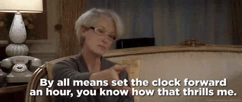
We’ll lose an hour of sleep tonight – don’t forget to set your clocks forward an hour!
We may see a few sprinkles Sunday morning, “highest” chances in southern WillCo., but chances are relatively low everywhere.

High temps will be ~15° above average by Tuesday, lasting throughout the week.

Next rain chances come around late Wednesday into Thursday.
“Despite the warm surface temperatures and decent mid level lapse rates, it does not look like a severe weather setup. There will be enough instability for a chance of thunderstorms, but deep moisture return and wind shear will be lacking.” – from the greats at NWS Nashville
Euro model thinks rain chances will hold off until Thursday, but in any case, rain chances look relatively low. Maybe a non-severe thunderstorm, but nothing hazardous expected.
Eyes turn to a potentially strong system next weekend.
“The pattern looks more amplified and active going into next weekend with models showing a strong system moving eastward across the plains. Deep southwest flow will bring moisture, instability, and gusty winds to the region ahead of the system, so we could be looking at showers and thunderstorms next weekend.” – NWS Nashville AFD
This is still a week out, so plenty of details that are unknown at the time.
There is some confidence in “Heavy Precipitation” next weekend, as the CPC has given our area a >60% chance of it next weekend.

While there is no definition of “Heavy Precipitation,” the National Blend of Models indicate that several inches of rain will be possible during this time.
Very little confidence exists in regard to any severe weather potential. The Storm Prediction Center notes that there probably will be severe weather potential somewhere, but confidence is low on location.
Lots will change between now and then, we’ll keep y’all updated!
Categories: Featured Blog