
In this blog: 1. Website/X change. 2. Storms tonight. 3. Severe storms outlooked this week.
1–Website change.
As you probably know, we’ve made recent attempts to become less dependent on Twitter and instead create a website from the ground up that would serve as our main timeline and push to social media platforms secondarily. The site would serve as a one stop shop. Pull it up, let it sit there, and be fed all NashSevereWx content automatically. While our developers have done amazing things with this concept under the hood of the site – and it works well most of the time for most people – none of us think it’s quite ready for us to depend on during a week when potentially severe, storms are forecast. We’re committed to getting it perfect. In the meantime, we’ll be posting our updates to Twitter (X), and only long-form blogs like this one to the website like we used to. We’ll be on our YouTube channel covering any warnings. Cool things are coming. We’ll keep you updated!
2–Storms tonight.
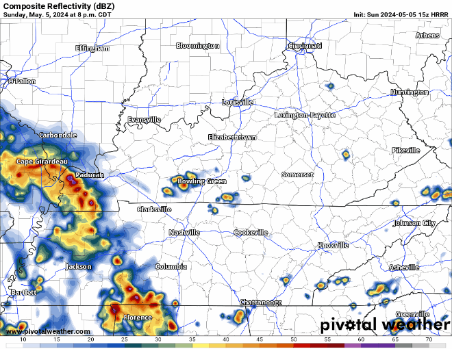
Models show a humid, but rain/storm free until mid afternoon. Some data has storms coming in around 5 -8 PM or so.
A big thunderstorm complex is modeled to arrive here after dark. Latest HRRR thinks 10-11 PM. System lacks upper level support to go severe. Lightning and heavy rain the main feature. Does not look like classic “all night loud thunder” event. But there will be some lightning. Prep your pets.

3–Tuesday severe storm potential. Storm Prediction Center says 15% probability of a severe storm (large hail, damaging winds, and/or tornado) within 25 miles of us.

We’re in a data desert at this range for timing. High res models aren’t there yet. Global models aren’t helpful for timing. Current thinking is a line of weakening storms comes thru Tue morning. Atmosphere recharges in the afternoon. If the forcing and upper level support sequence, we may see segmented lines of severe-capable storms late afternoon into the evening. Right now this looks like a lower-end threat feat. lightning, damaging winds, and brief, localized flooding. Stay tuned.
4–Wednesday, another (bigger) severe storm potential day. This looks like the bigger threat — probably the biggest one we’ve had in the last month.
Below on the left is the Artificial Intelligence forecast severe wx model from Colorado State University. The actual SPC forecast is to the right indicating 15% probability of severe storms (damaging straight line winds, hail, and/or tornadoes).

Again, timing remains iffy, but this looks like a Wed mid-afternoon to evening threat. Unlike Tuesday’s system, Wednesday’s has all the basic elements needed for rotating storms that can produce large hail and direct strong winds to the surface where they spread out and create straight line wind damage. If elements sequence properly, tornado will be possible. This threat remains conditional and is not yet personally alarming. Make flexible Wednesday plans.
Bonus–Rainfall. Localized, temporary flooding possible where the heaviest cells “train” over the same area. Generally tho, WPC has 3″ on average thru Friday. We can handle all that rain spread out over the week.
Double Bonus–Steeplechase Saturday. A cold front works through Friday. Humidity drops Saturday, mid 70°s highs, no rain forecast. Ideal day on a wet (muddy?) field.
Categories: Featured Blog
1. Great work! Never as easy as we first think. The site should always be organic and changing.
Soooo true. It’s been a learning experience