
I’m writing because the fearless intern bugged out claiming it’s a “test day/travel day for me” but I hacked his Life 360 and apparently he’s been at some lampshade and garden gnome emporium since 11 AM so yeah, we’ll have to take that up with him offline.
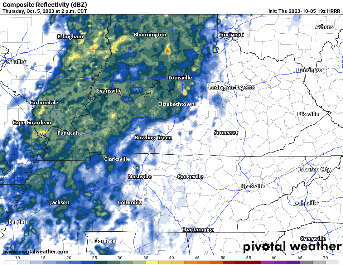
Light rain – occasionally steady maybe even heavy for some of us – is coming through late this afternoon and tonight.
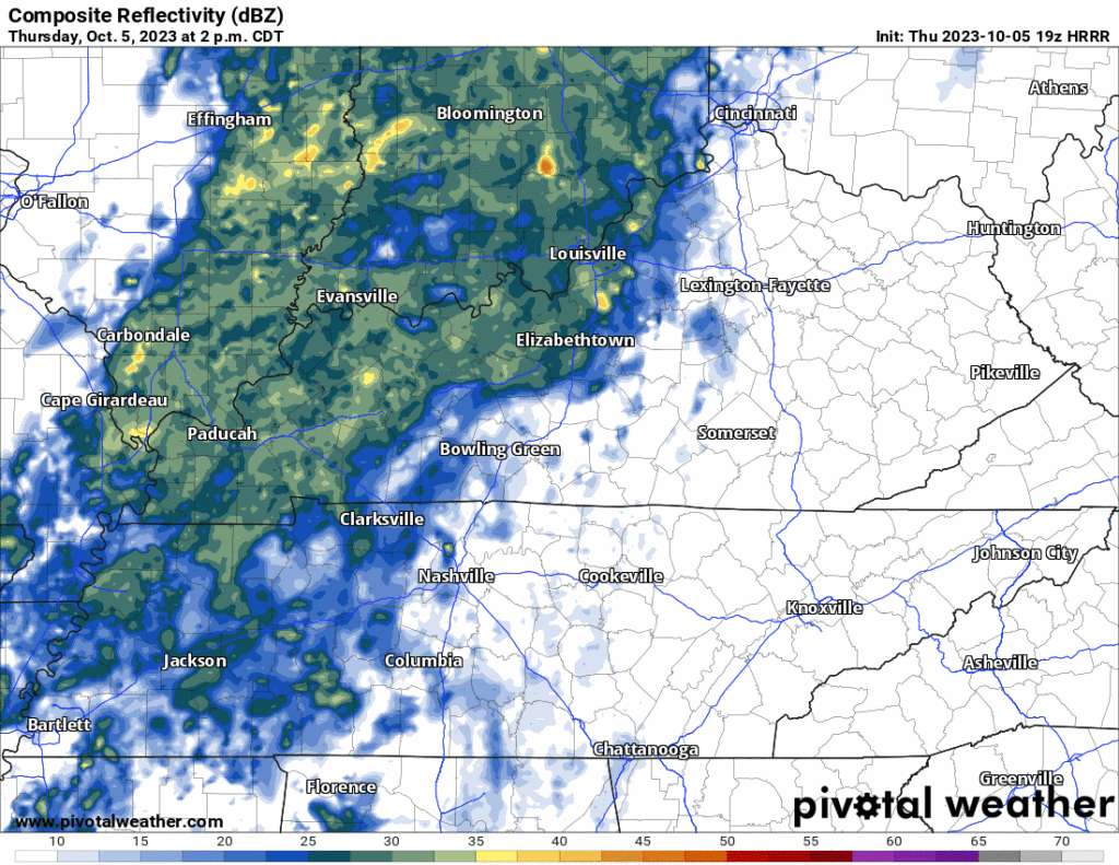
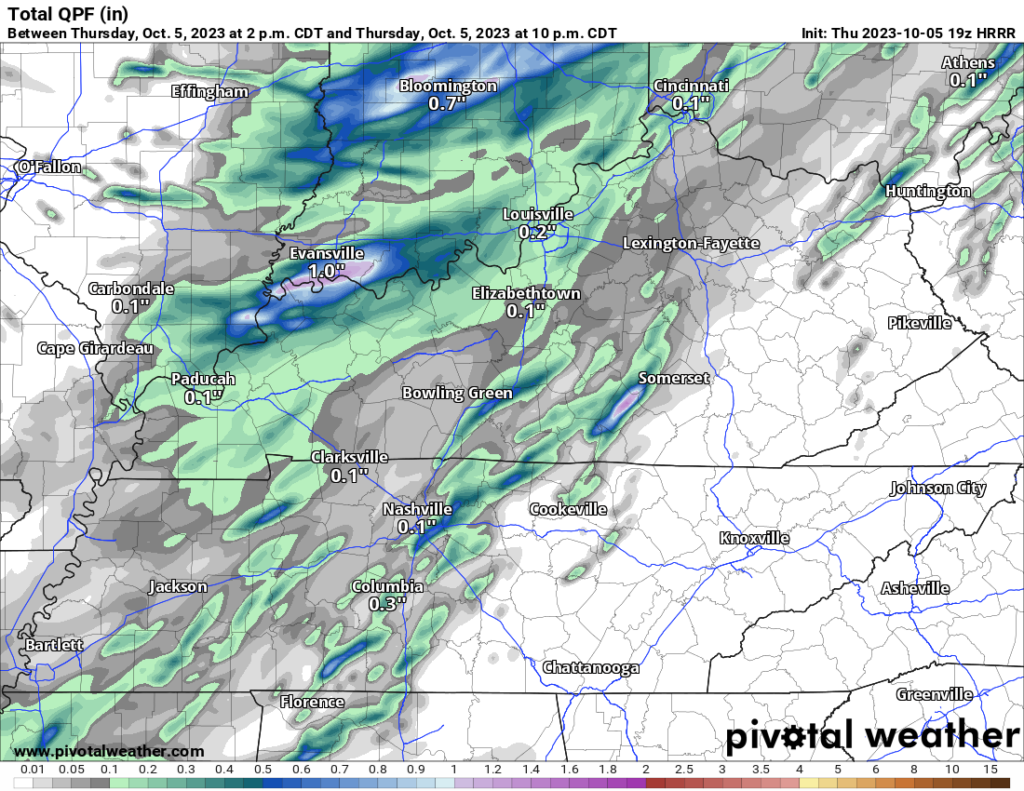
Most of us will get under 0.10″ which is not enough to rain out most fields. HRRR thinks by 10 PM one narrow area stretching from SW to NE will drop 0.5″ to 0.6″ which is well above rainout territory. HRRR paints that heavier rain area from Brentwood to East Nashville to Old Hickory but for real that heavier rain area could end up anywhere tonight.
No lightning, no winds, nothing severe tonight.
Next rain event, best guess: Thu 12th or Fri 13th. Some model runs have severe potential with that system but they drunk with no forecast skill at this range (SPC says: “with increasing model spread regarding the evolution of synoptic-scale features by the middle of next week, the magnitude of any severe-thunderstorm potential during this time frame remains quite uncertain.”)
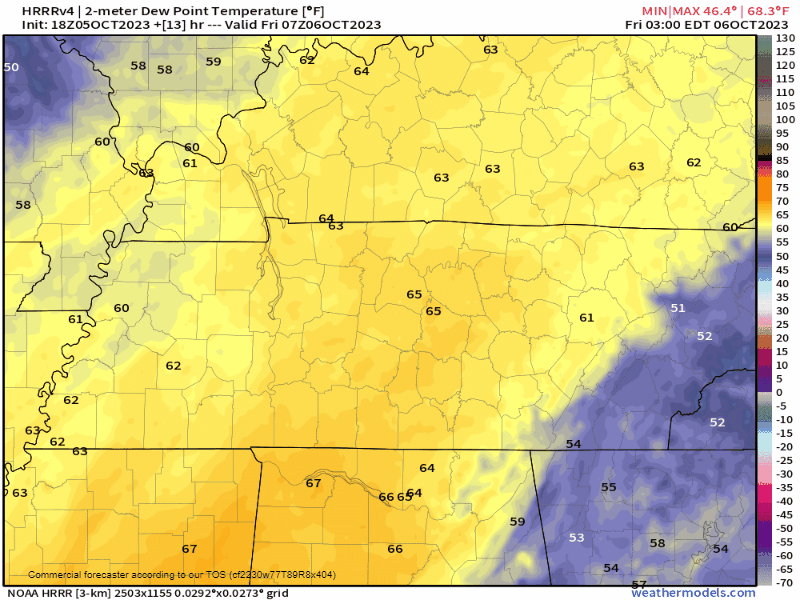
Tomorrow a Legit Autumn slowly arrives. Watch the dry air fill in Friday:
Morning lows 44° Saturday and 41° Sunday.
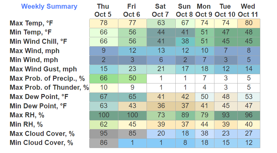
Quick References:
Weather changes constantly.
Follow @NashSevereWx on Twitter for any changes to this forecast.
Live coverage during tornado and severe thunderstorm warnings:

Look good.
Support the mission.

We are 100% community supported. No ads. No subscription fees. Keep it free for everyone.


Categories: Forecast Blogs (Legacy)
You must be logged in to post a comment.