
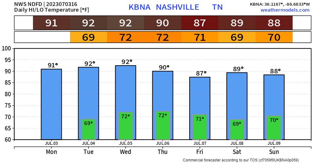
We finally are not outlooked for severe weather today. We should stay dry. Much needed and well deserved. Heat index only in the mid 90’s, also improvement.
Anddd that won’t last long, as the Wattery returns for the 4th.
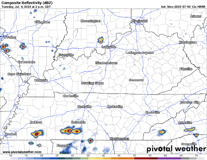
HRRR model (above) shows the majority of the action to the west, but a few may come into our neck of the woods.
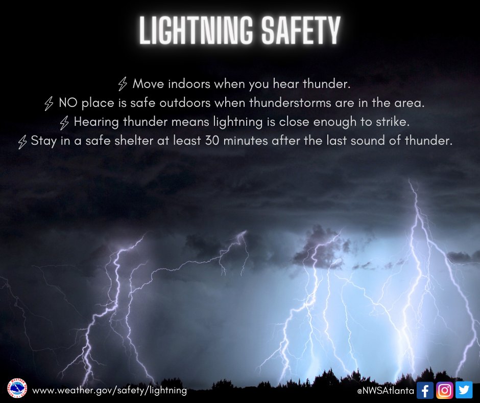
The radar won’t look exactly like this tomorrow, no need to cancel anything, just know there will be a chance of rain, perhaps a strong storm. The better rain chances are to our west but having an indoor backup plan won’t hurt. We’ll keep you updated. As always, when thunder roars, go indoors.
Wednesday we are yet again outlooked for severe weather.

5% chance within 25 miles. Still uncertainty with specifics and timing, we’ll know more soon.
We’ll continue this active, wet pattern thru at least the weekend. Ahh, summertime.

Quick References:
Weather changes constantly.
Follow @NashSevereWx on Twitter for any changes to this forecast.
Live coverage during tornado and severe thunderstorm warnings:

Look good.
Support the mission.

We are 100% community supported. No ads. No subscription fees. Keep it free for everyone.


Categories: Forecast Blogs (Legacy)
You must be logged in to post a comment.