Low Wattery chances today, best chances will be afternoon and evening. Last day of below average temps for the foreseeable future, summer is finally going to summer.
Almost non-zero rain chances for Saturday, heat turns up into the low 90’s.
Sunday is where things get interesting. Models suggest some rain/storm chances in the morning, not thinking severe weather with these.
Sunday afternoon we’ll experience the hottest temps so far this year. Low 90’s with dewpoints in the mid 70’s. That’s gross even typing it. Heat index values will push 105°, which will be flirting with Heat Advisory criteria, too soon to know if one will have to be issued.

Sunday evening, probably more Sunday night, we turn our eyes to severe weather chances.
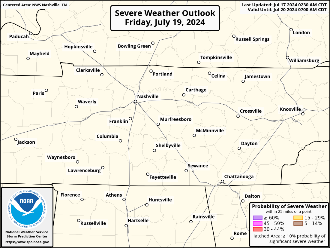
The Storm Prediction Center has outlooked our counties with a 15% chance of severe weather within 25 miles, model data suggests the main threats will be damaging straight-line wind and hail. A majority of our two counties are also “hatched” which suggests those damaging winds and hail could be particularly strong. Tornado threat appears to be not zero, but low due to weak wind shear.
Model data is still fuzzy, as the high-res models aren’t in range yet. Timing wise, the timeframe looks to be likely Sunday night, fingers crossed this is after all car racing and concerts are over. However, this also means you may need a way to wake up in case a warning is issued for you.
New data will be coming in leading up to the event, and we’ll post updates as they come in. Stay connected this weekend, especially if you plan on being out and about Sunday evening/night.
Monday and the rest of the week we’ll be in more a summertime pattern, hot and daily Wattery chances.
Quick References:
Weather changes constantly.
Follow @NashSevereWx on Twitter for any changes to this forecast.
We are 100% community supported. No ads. No subscription fees. Keep it free for everyone.
Categories: Forecast Blogs (Legacy)


You must be logged in to post a comment.