Another dry, yet warm today. Enjoy it because starting tomorrow we get active weather wise.
Air Quality Alert will be in effect all day. “The general public is not likely to be affected. Active children and adults, and people with a respiratory disease such as Asthma, should limit prolonged outdoor exertion.”

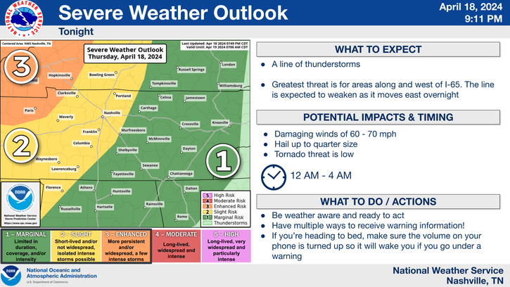
For Sunday, the Storm Prediction Center has outlooked our counties with a
- 15% chance of damaging (58mph+) winds within 25 miles
- 15% chance of severe (1″+) hail within 25 miles
- this morning we were not included in any tornado probabilities for Sunday, now we are: 2% chance within 25 miles (see below):
Timing
We’ll start the morning with some rain, maybe lightning, but no real severe concerns with that.
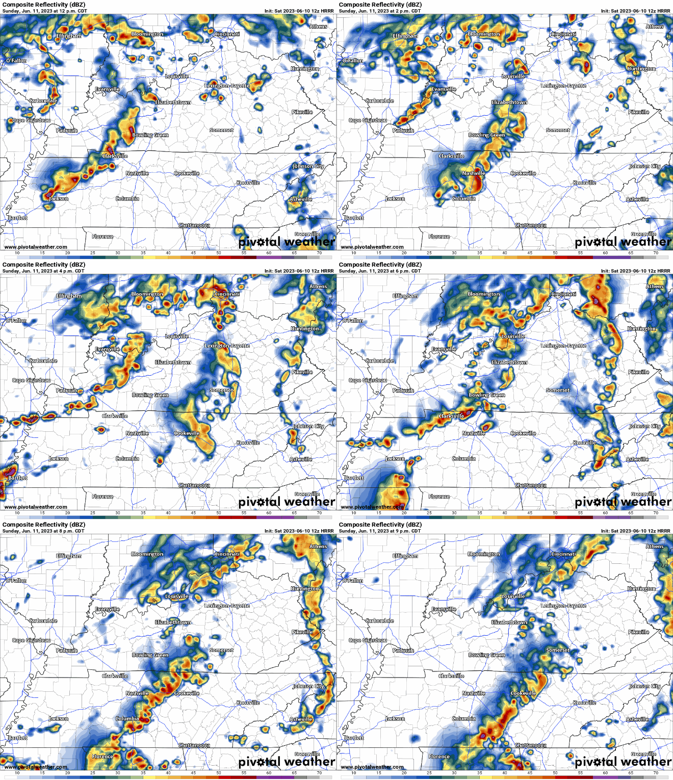
Strong to severe storm chances look to come in waves tomorrow afternoon, mostly tomorrow night.

HRRR model (above) thinks there will be two main rounds.
The first coming around 1-2pm, then the second following up around 7-8pm.
Both rounds will carry the threat of damaging straight-line winds and severe hail, with damaging straight-line winds being the main threat. A tornado is unlikely, but cannot be ruled out. Isolated flash flooding will also be possible.
Both rounds will carry the threat of lightning, likely sending delays to the downtown activities and air show. Thankfully the storms will be moving, so it shouldn’t be a Taylor Swift or Garth Brooks long delay, but at least a delay or two for a little looks inevitable.
Active Week Ahead

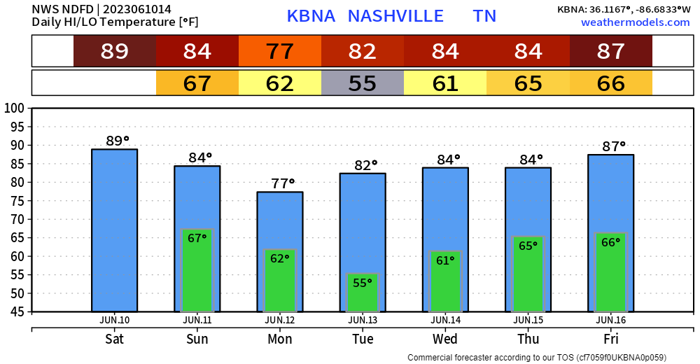
Wattery chances will exist all next week, increasing towards the end of the week…bad timing for Bonnaroo and other weekend plans. Dewpoints will also increase into the upper 60’s, making it uncomfortable outside. Prepare for a muddy and sweaty Roo. More details as we get closer.
Quick References:
Weather changes constantly.
Follow @NashSevereWx on Twitter for any changes to this forecast.
We are 100% community supported. No ads. No subscription fees. Keep it free for everyone.
Categories: Forecast Blogs (Legacy)


You must be logged in to post a comment.