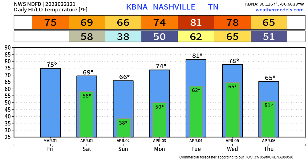
Wind Advisory today until 7pm with gusts up to 45mph are possible. Frost possible in many areas Sunday morning, so cover up loved plants.
Another severe weather round is possible Tuesday.

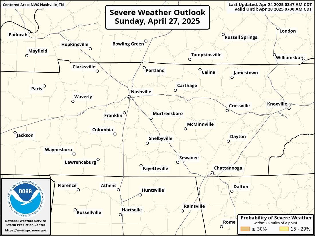
The Storm Prediction Center has maintained our 15% chance of severe weather within 25 miles for Tuesday. Details are still hazy and trying to say an ETA is tough. But a superrr rough estimate would be Tuesday PM – Wednesday AM. All modes of severe weather look possible, as CAPE (storm fuel) and wind energy look plentiful, which is not great news. Not to panic, this is 5 days away and a lot will change between now and then. The greater threat looks to be to our west. We’ll keep ya posted.
Quick References:
Weather changes constantly.
Follow @NashSevereWx on Twitter for any changes to this forecast.
We are 100% community supported. No ads. No subscription fees. Keep it free for everyone.
Categories: Forecast Blogs (Legacy)


You must be logged in to post a comment.