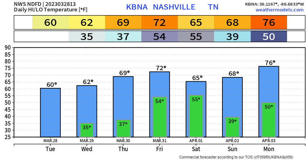
Nice temps during the day, but the next two mornings will be pretty cold as temps dip down to the low 30’s. Some areas may briefly dip below freezing. Cover up plants you love. Still expected to stay dry until Friday.
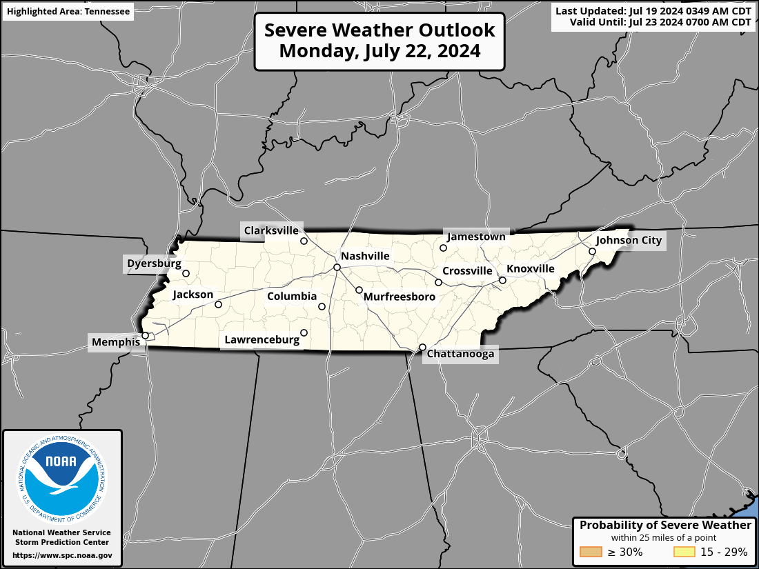
The Storm Prediction Center has maintained the 15% chance of severe weather within 25 miles for our two counties for Friday.

Timing wise, the severe weather threat would be Friday PM, likely towards the late evening hours. The better chances for severe weather are out towards the west. Good news, NWS Nashville notes that models have shown a decrease in forecasted CAPE (storm fuel). This is a good trend and hope it continues, but this is still several days out so a lot can change for the better, or worse.
Rainfall totals from this system look to be an inch or so, not much concern for any flash flooding with it.
The majority of Saturday and Sunday look like they’ll be dry, with rain/storm chances returning on Monday.
Quick References:
Weather changes constantly.
Follow @NashSevereWx on Twitter for any changes to this forecast.
We are 100% community supported. No ads. No subscription fees. Keep it free for everyone.
Categories: Forecast Blogs (Legacy)


You must be logged in to post a comment.