
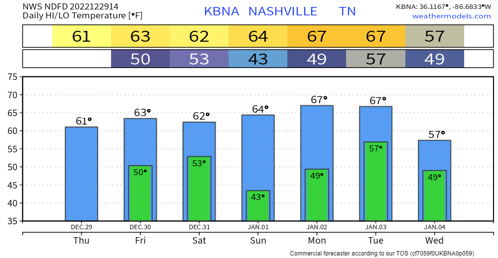
For the next 6 days or so, we’ll get a little preview of spring, as temperatures shoot well above average into the 60’s.

We’ll also see rain chances pick up today and this afternoon. Won’t amount to much – if any. Just a quick passing by shower.
Friday and Saturday rain chances pick up a little bit more, best chances look to be Friday evening and Saturday AM. The more official start to our rainy pattern.
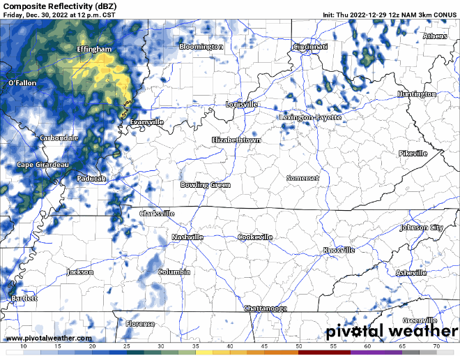
Models are in fairly consistent agreement that the rain will move out by Saturday afternoon, leaving your nighttime NYE plans dry, along with some nice temperatures in the upper to mid 50’s.
New Year’s Day, Sunday, will be a nice start to 2023, dry and highs in the mid 60’s.
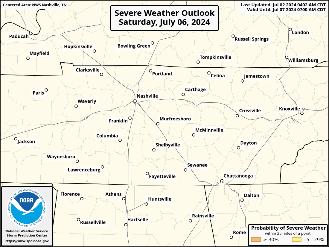
The Storm Prediction Center has shifted the 15% risk area to only include the tiniest sliver of Williamson and Davidson counties.
Models have slowed down on the timing of the system, and our severe risk, if any, wouldn’t be until Tuesday AM. This looks like a classic high-shear, low-CAPE set up for us. Things will probably change another ten times before Monday/Tuesday, we’ll keep you updated.
Rainfall totals for the next 7 days look to be in the 2-3″ range, as long as it all doesn’t come down in a few hours, we should be able to handle that just fine.
Quick References:
Weather changes constantly.
Follow @NashSevereWx on Twitter for any changes to this forecast.
Live coverage during tornado and severe thunderstorm warnings.

Look good.
Support the mission.

We are 100% community supported. No ads. No subscription fees. Keep it free for everyone.


Categories: Forecast Blogs (Legacy)
You must be logged in to post a comment.