

The forecast has remained pretty consistent over the last few days. The two stories from the last couple of days remain the two stories for today.
Rain Tonight Into Tomorrow Morning
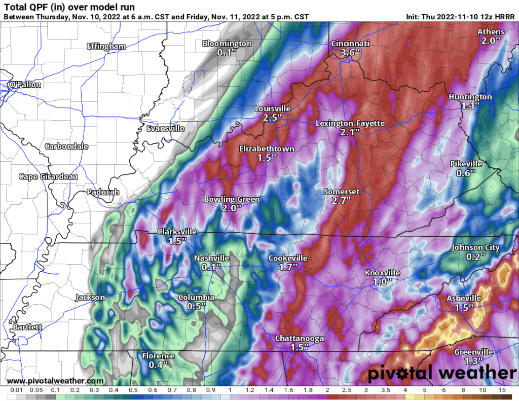
We’ll be affected by two systems. The remnants of Nicole from our east. A strong cold front from our west. As these two systems interact, we expect rain to begin overnight and last until tomorrow afternoon. HRRR loop 4:00 pm today – 7:00 pm Friday.
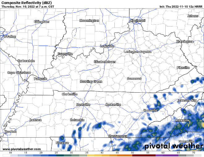
Most computer models continue to show the heaviest rain will occur east of us. HRRR thinks there will also be some heavier downpours to our north and west. I’m not sold on the exact placement of the heavier showers. Basically, if heavier showers develop over us, our rain totals will increase. That’s ok. We’re in a severe drought after all.

We could see some passing showers Friday night into Saturday morning. Outdoor plans could be in jeopardy, not necessarily because of the rain intensity. But, because any rain+cold is gross. It’s not out of the question that some of this rain could be lightly mixed with frozen stuff. But, no big deal.
Cold Temperatures
The aforementioned cold front is a strong one. Highs Saturday and Sunday aren’t forecast to get out of the 40s. Monday and Tuesday look to be in the low 50s. A little shock to the system. A wake up call that winter is on the way.
Quick References:
Weather changes constantly.
Follow @NashSevereWx on Twitter for any changes to this forecast.
Live coverage during tornado and severe thunderstorm warnings.

Look good.
Support the mission.

We are 100% community supported. No ads. No subscription fees. Keep it free for everyone.


Categories: Forecast Blogs (Legacy)
You must be logged in to post a comment.