

Rain is on the Saturday morning radar. This 👇🏽 is from 7:30 AM. See this for an updated image.
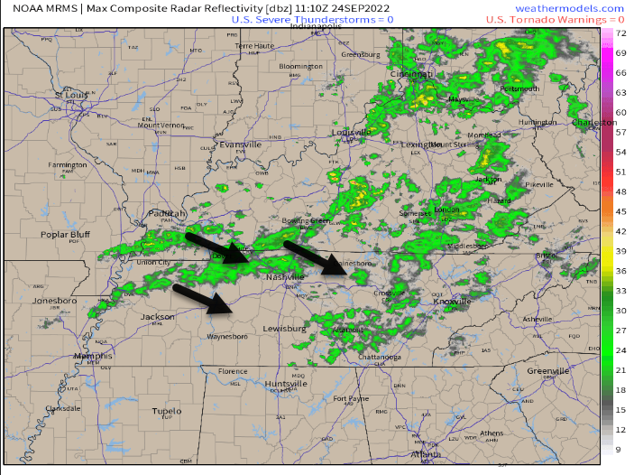
Some of this rain is not reaching the ground. Most of it is.
The rain is light. I’m bringing a rain jacket to rollyball fields this morning.
Grounds/Soils are dry. Not expecting rainouts.
Should end a little around lunch.
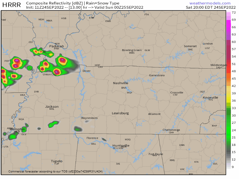
Heavier rain is expected late tonight into overnight.
HRRR predicts an ETA of 11 PM to midnight. Timing may need adjustment. Stay connected for changes.
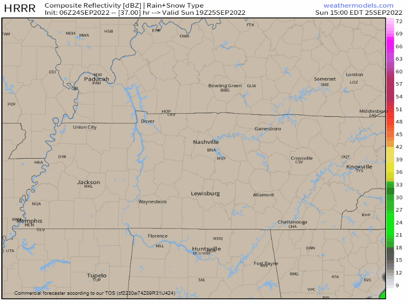
The NAM thinks this rain and a few storms will arrive tonight after midnight and depart before sunrise Sunday.
No severe weather. NWS-Nashville doesn’t even have lightning in the forecast grids 👍🏽.
Sunday looks quiet.
Afternoon storms may develop east of us 👇🏽 but we think they’ll miss us with, let’s say, medium confidence. Check back for changes.
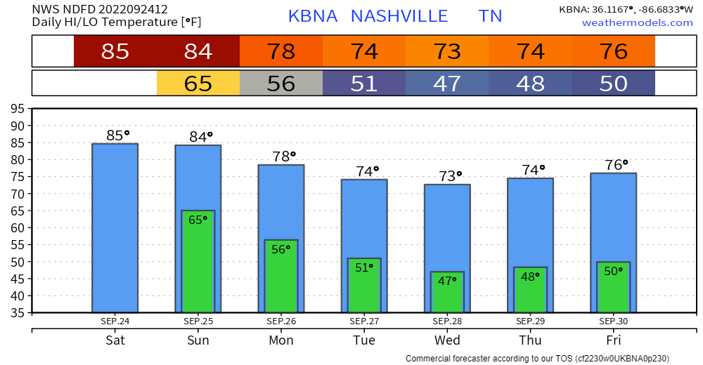
Reinforcing cold front arriving midweek should keep us out of the 80°s until next weekend.
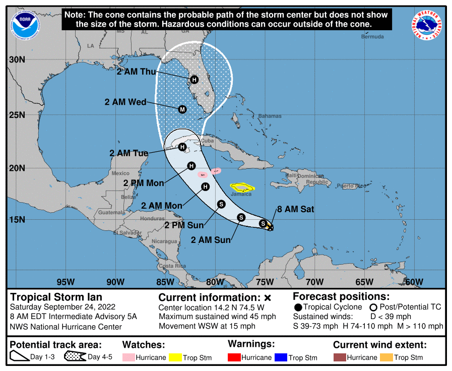
Ian should be in the Gulf of Mexico on Wednesday. Current forecast pulls it southeast of us. However, models are not sure about this. Check hurricanes.gov for the latest.
Quick References:
Weather changes constantly.
Follow @NashSevereWx on Twitter for any changes to this forecast.
Live coverage during tornado and severe thunderstorm warnings.

Look good.
Support the mission.

We are 100% community supported. No ads. No subscription fees. Keep it free for everyone.


Categories: Forecast Blogs (Legacy)
You must be logged in to post a comment.