

Hot, probably quiet weekend.
Rain/storm coverage looks to be considerably less today than yesterday which will likely allow temperatures to get a few degrees warmer than yesterday, too. Sunday should be similar, with only isolated to widely scattered rain chances and temperatures running into the low 90s.
NWS-Nashville, AM Forecast Discussion, 8/27/22
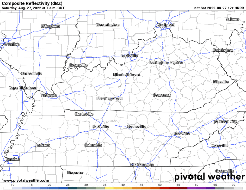
Below is the HRRR model running all weekend, time stamp upper left, not much happening but it’s possible an afternoon/early evening storm will find you:
Uncomfortably high (but not oppressive) humidity will drive the heat index (“feels like”) into the upper 90°s this weekend. Temps next seven days below, notice there’s a drop:
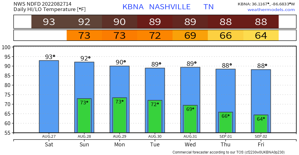
That’s because more clouds and higher rain chances arrive Monday & Tuesday, then a front comes by and cuts the temps a bit. Timing remains iffy but
- Expect scattered storms around during the day Monday.
- Most rain should fall during the afternoon/early evening Monday and again Tuesday.
- “[S]ome localized flooding will be possible, but nothing widespread is expected at this time. Look for an average of 1-2 inches of total rainfall Monday and Tuesday, with a few spots potentially experiencing a touch more.” –NWS-Nashville, AM Forecast Discussion, 8/27/22.
- Lightning also possible.
- Neither tornadoes nor significant damaging straight line wind events are forecast. Hail? Meh, maybe small stones in the bigger cells.
Drier, slightly cooler weather Weds through the end of the work week. Data gets superfuzzy beyond that.
Quick References:
Weather changes constantly.
Follow @NashSevereWx on Twitter for any changes to this forecast.
Live coverage during tornado and severe thunderstorm warnings.

Look good.
Support the mission.

We are 100% community supported. No ads. No subscription fees. Keep it free for everyone.


Categories: Forecast Blogs (Legacy)
You must be logged in to post a comment.