
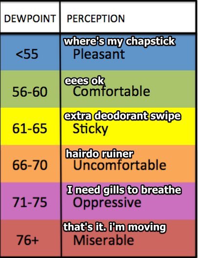
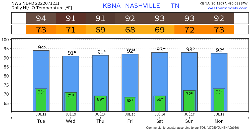
Before storms today, it will be hot. 94° for the high, paired with dewpoints in the low 70’s, giving us a heat index to 101°. Not as bad as last week, but still not comfortable.
Your day throughout the afternoon should be dry.
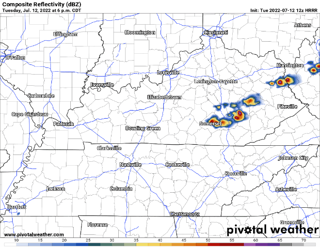
HRRR model likes to think storms with lightning, heavy rain, and maybe damaging winds will pop-up along a front somewhere in our counties around 7 or 8pm.
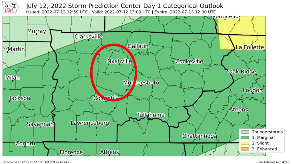
Storm Prediction Center thinks a few of these storms could reach severe criteria for damaging straight line winds. They left us off any probabilities for hail and tornadoes.
If you have outdoor plans tonight, I might suggest the Fanorak. (not sponsored)
This seems like 1. very useful, 2. a fashion statement. I, myself have a fanny pack, and a rain jacket, but separate. Whoever thought of this idea, I’d love to talk to them. Maybe everything should transition into a fanny pack? However, this would not help against lightning, so if thunder roars, head indoors. At least you can look cool inside with a fanny pack.
Anyway, HRRR model thinks the front hangs around for a little bit and throws us some showers for the AM commute for Wednesday.
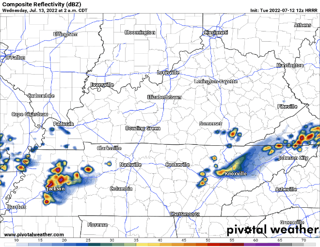
No severe weather is expected with these, but maybe lightning and heavy rains that make everyone drive just a bit slower, but that’s assuming you aren’t already stuck in traffic.
After the front finally pushes south, dewpoints in the low 60’s will follow.
Temps will remain pretty average for this time of year.
Looks like after Wednesday AM, our next real rain chance looks to hold off until Sunday.
Quick References:
Weather changes constantly.
Follow @NashSevereWx on Twitter for any changes to this forecast.
Live coverage during tornado and severe thunderstorm warnings.

Look good.
Support the mission.

We are 100% community supported. No ads. No subscription fees. Keep it free for everyone.


Categories: Forecast Blogs (Legacy)
You must be logged in to post a comment.