“Wattery” is a three tiered dad pun (which I will now ruin for the sake of clarity: lottery as in who knows who will win – maybe nobody, watery as in rain we need, watts as in electricity as in lightning), deal with it.
Yesterday east of 65 in Nashville we saw up to 1.66″ of measured rainfall. That was nice. Most of us, however, got a lot less, many saw nothing:
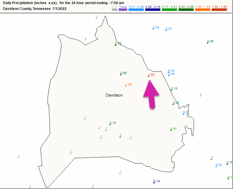
Most of Will Co was shut out.
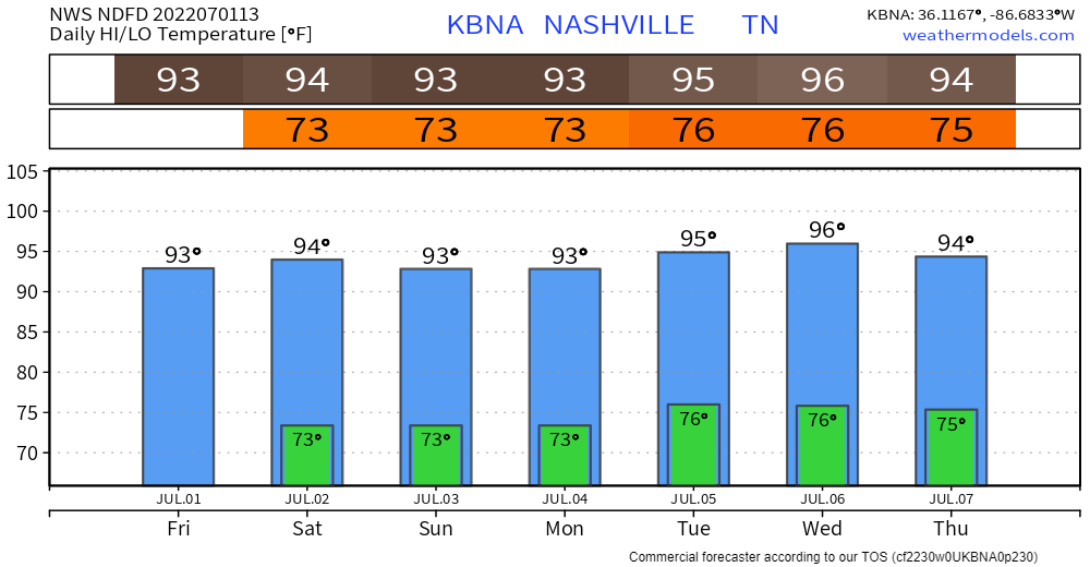
Uncomfortable humidity + mid 90°s temps likely for at least the next seven days.
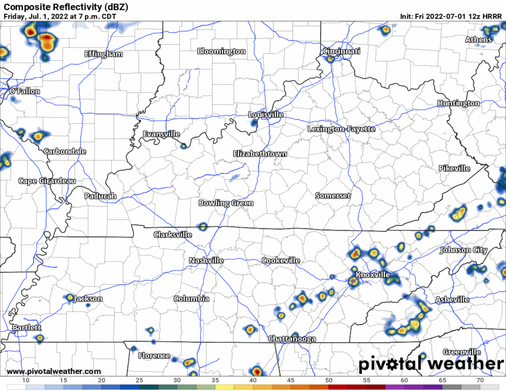
Rain relief will be hit or miss. HRRR today shows only a few showers and storms around Middle Tennessee.
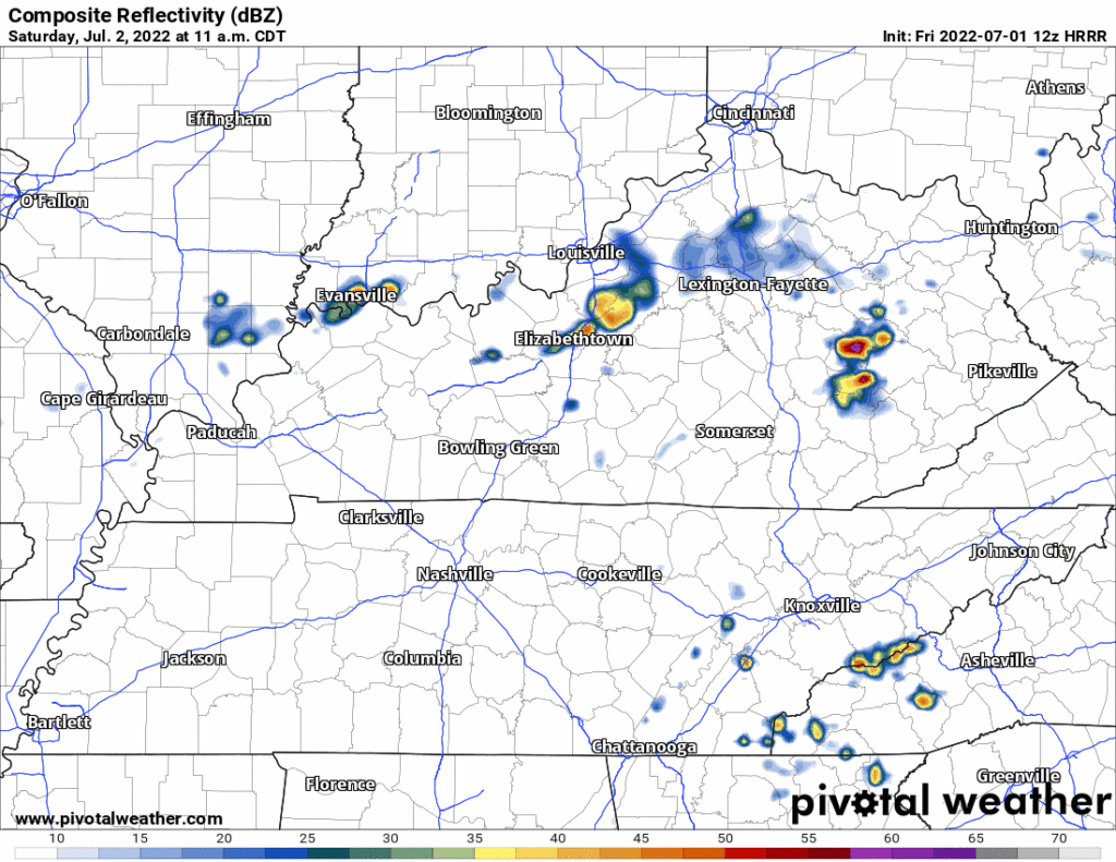
More showers and storms expected Saturday. Exact ETAs and locations remain a mystery. HRRR is not super accurate for timing/location. Rain & Lightning Can Happen. Rain Lottery(Wattery) chances are decent for you, mostly in the afternoon/early evening. This includes the chance of lightningstorms, be near enclosed shelter in case of bolts.
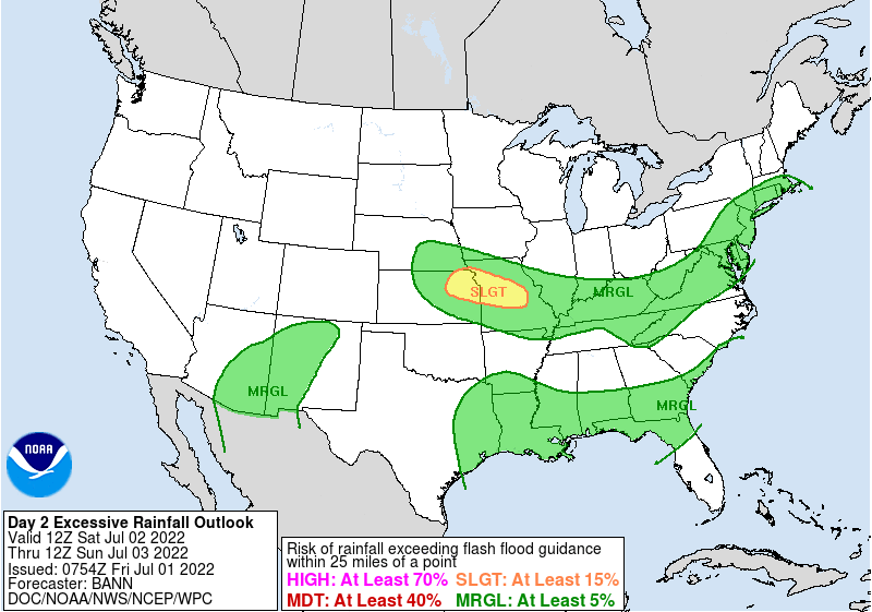
Saturday’s waterloaded atmosphere creates potential for excessive rainfall Saturday afternoon/early evening according to this WPC map — the probability is low: 5% to 15% of a flash floody event within 25 miles of you.
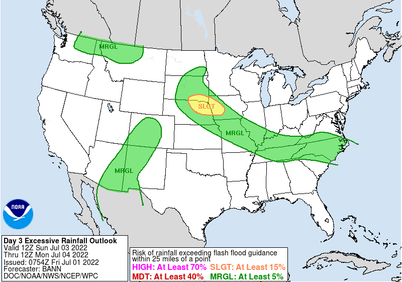
More random downpours/lightningstorms will be possible again Sunday late morning through early evening. Storms are more likely Sunday compared to today and Saturday. Flash floody probability remains 5% to 15% within 25 miles of you:
For Independence Day, it looks be a typical summer day with warm temperatures and chances for convection [storms] during the afternoon and evening.
NWS-Nashville, AM Forecast Discussion, July 1, 2022
Quick References:
Weather changes constantly.
Follow @NashSevereWx on Twitter for any changes to this forecast.
We are 100% community supported. No ads. No subscription fees. Keep it free for everyone.
Categories: Forecast Blogs (Legacy)





You must be logged in to post a comment.