Comfortable humidity and temps Monday and Tuesday, let’s goooo.
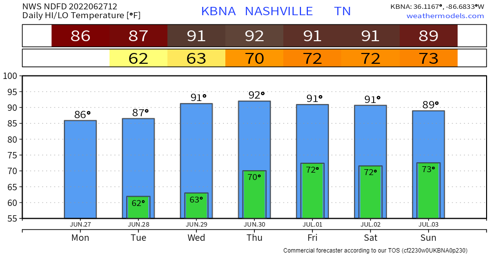
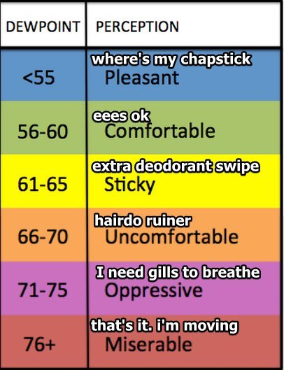
Humid, summertime airmass arrives Thursday morning and sets up camp. Temps right around and slightly above normal for late June with humidity increasing from Comfortable to Sticky. Humidity will be Uncomfortable Friday through the weekend.
Randomized, classic Drunk Uncle pop up storm chances begin Thursday afternoon. Those chances go up Friday afternoon and continue each weekend afternoon. The weekend Euro model below breaks out randomize scattered storms across Middle Tennessee, any of which could roll into your local plans. “Accuracy” and timing for specific times and location at this range is a fantasy beyond the reach of meteorology, but the pattern of scattered storms rolling around is reliable. Translation: we’ll be in a casino, we’ll be playing roulette, but we don’t know where the ball will land during any given future spin.
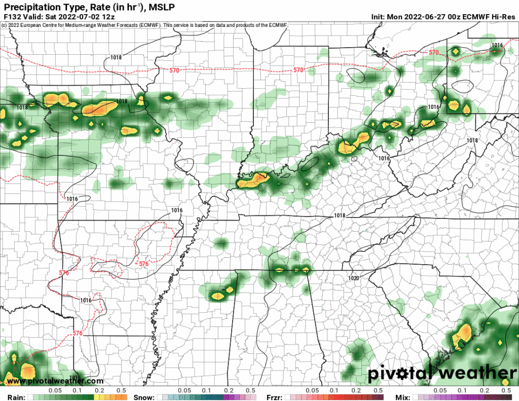
You’re familiar with this act — storms pop and hammer a small area with rain and lightning and occasionally wind damage, while 5-10 miles away the grass gets browner.
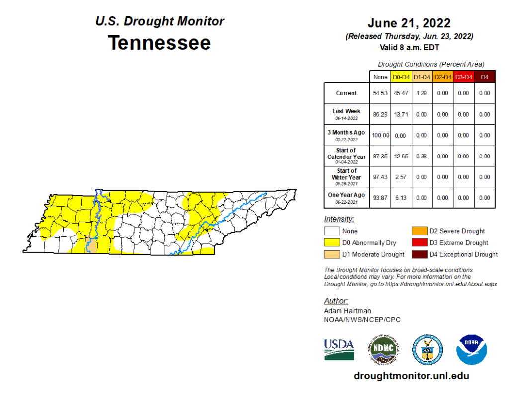
North of I-40 is “abnormally dry” on the drought monitor, the same area that got shut out last night. A new drought monitor comes out Thursday.
Quick References:
Weather changes constantly.
Follow @NashSevereWx on Twitter for any changes to this forecast.
We are 100% community supported. No ads. No subscription fees. Keep it free for everyone.
Categories: Forecast Blogs (Legacy)






You must be logged in to post a comment.