

BNA last hit 100° July 8, 2012. We might hit 100° this afternoon. For several days forecasters have gone back and forth between 99° and 100° for the high. The latest data supports 99°, but 100° will be in reach. If we make it to 100° we would only tie the June 22 record set in 1988.
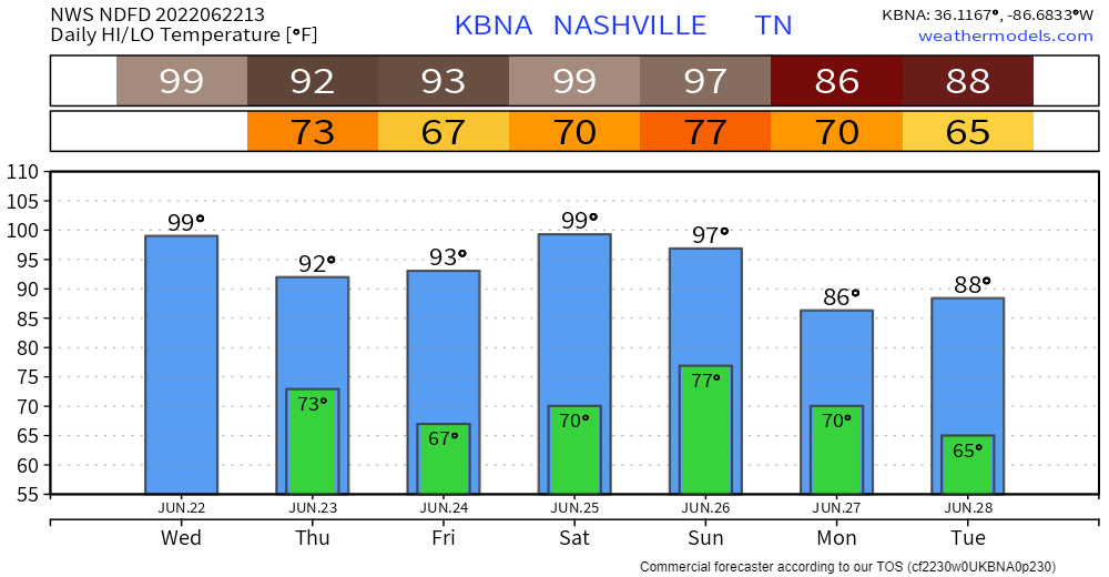
A lot went into the decision to put the forecast at 99°. Looks like the key will be whether our dewpoints stay in the 60°s. If they do, 100° is probably out of reach. If the dewpoints drop into the upper 50°s, we could make it to one hundred. It’s difficult to hit 100° here without the drier air.
Humidity will increase a bit today. The heat index will run a bit over 100° but below Heat Advisory criteria (which starts at 105°).
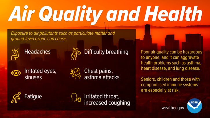
An Air Quality Alert continues:
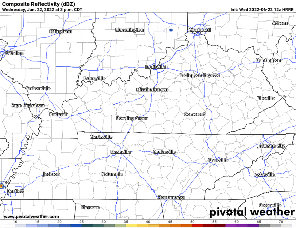
Rain continues to show up on the HRRR model early tonight (see below) but fizzles out before it gets to us. Can’t completely rule it out for everyone. Any storm that gets going will have a lightning, wind, hail potential (not tornado). But that’s more of an issue closer to the TN/KY line. We hope, but do not expect, rain will relieve crunchy grass.
We “cool off” into the low 90°s then try again to hit 100° on Saturday — official high 99°. Low 90°s is a few degrees above “normal” for this time of year.
The heat wave loses its grip + a front is expected here Sunday/Monday. That would give us at least a little rain.
Unfortunately after Sunday and Monday, we could be looking at another extended period of dry conditions, but at least temperatures will fall off to start the week behind Sunday`s front.
NWS-Nashville, AM Forecast Discussion, 6/22/22
Quick References:
Weather changes constantly.
Follow @NashSevereWx on Twitter for any changes to this forecast.
Live coverage during tornado and severe thunderstorm warnings.

Look good.
Support the mission.

We are 100% community supported. No ads. No subscription fees. Keep it free for everyone.


Categories: Forecast Blogs (Legacy)
You must be logged in to post a comment.