

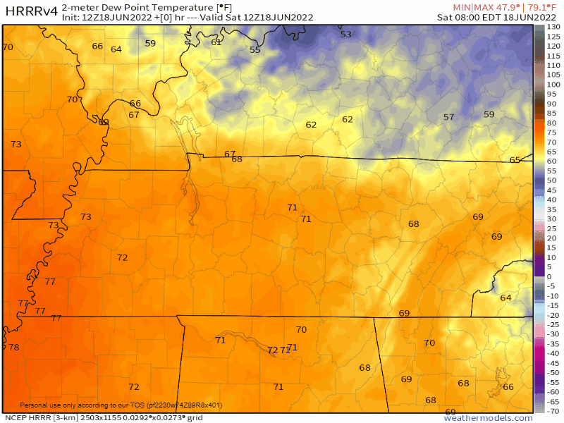
Dry air started spilling over us this morning.
It’ll get even drier tonight and tomorrow. Red at the end of the below dewpoint GIF is super-dry air: dewpoints in the 20°s!:
A north breeze will blow through the weekend, a gift from the notorious D.A.M.
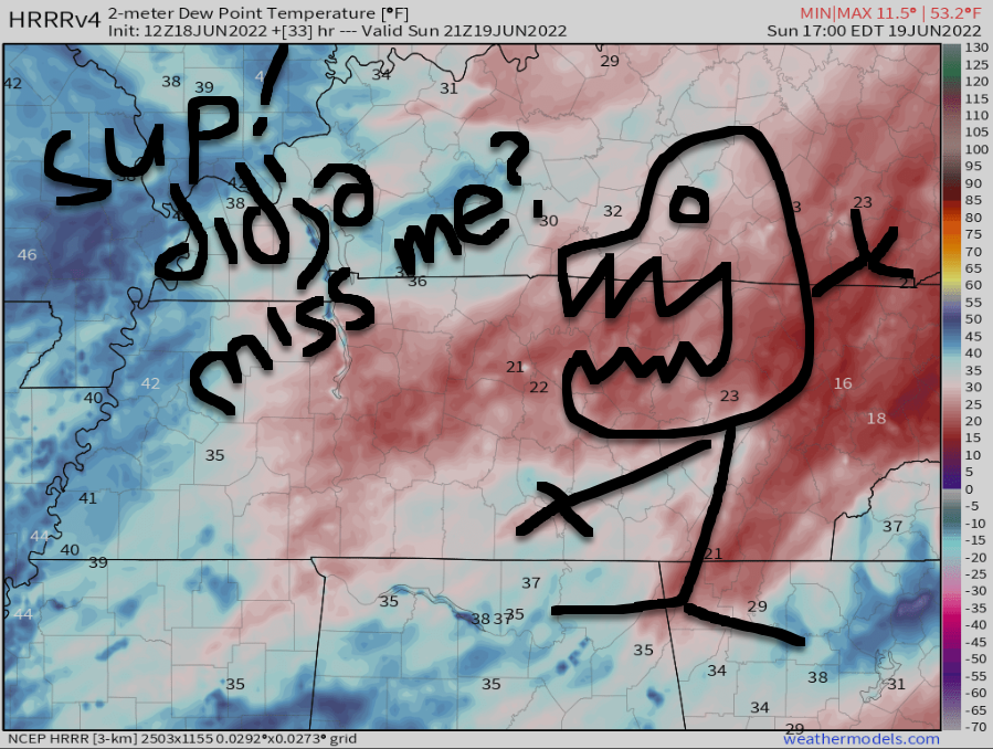
The party ends Monday. “The highly advertised heatwave still looks to be a go for next week.” –NWS-Nashville.
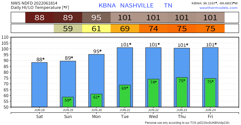
A few uncertainties remain about just how hot we’ll get, but the balance of data “support[s] Music City’s track toward several 100° days.” –NWS-Nashville. This heat wave won’t be super dry and it won’t be super humid. Look for dewpoints to bounce above and below the 60° mark next week.
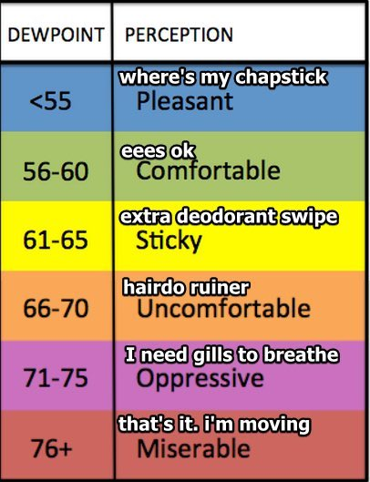
So I wouldn’t really call it a “dry heat” like they do out west.
It hasn’t officially been 100° in Nashville since July 8, 2012.
No rain in sight.
Latest drought monitor not yet showing any appreciable drought impacts for middle TN, yet. The operative word is “yet”. That could very well be changing if the Euro/CPC thinking is correct.
NWS-Nashville, 6/18/22, AM Morning Discussion
Quick References:
Weather changes constantly.
Follow @NashSevereWx on Twitter for any changes to this forecast.
Live coverage during tornado and severe thunderstorm warnings.

Look good.
Support the mission.

We are 100% community supported. No ads. No subscription fees. Keep it free for everyone.


Categories: Forecast Blogs (Legacy)
You must be logged in to post a comment.