
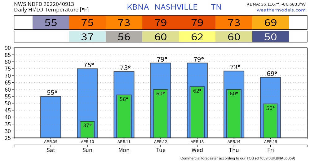
We are on the last day of the cool trend of last week. Todays temps will be in the mid 50s. Lows will be in the mid to low 40s. There was a frost advisory and it expired earlier this morning.
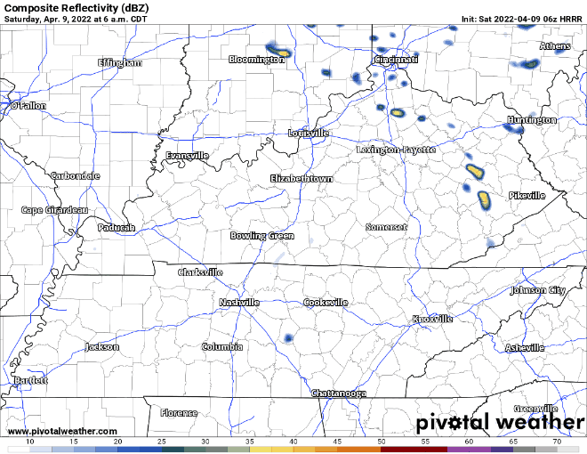
No rain expected today. It’s east of us. HRRR below:
Sunday Into Next Week
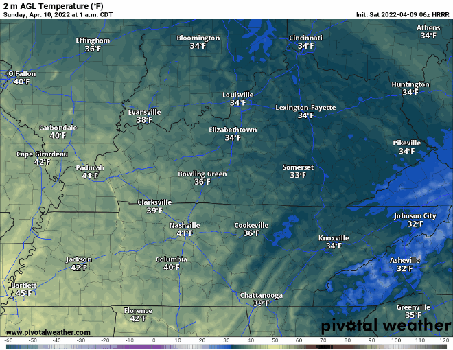
There may be some frost Sunday morning. Temperatures are going to jump 20 degrees higher tomorrow afternoon.
For the rest of the week, we are going to experience the classic April spring weather, nice temps, but also some rain. A few weak disturbances should set off rain showers off and on (mostly “off”) Monday and Tuesday. No big deal.
A strong/severe storm system will brew west of us Monday and get closer Tuesday. It’ll move through here Wednesday or Thursday, most likely Wednesday night.
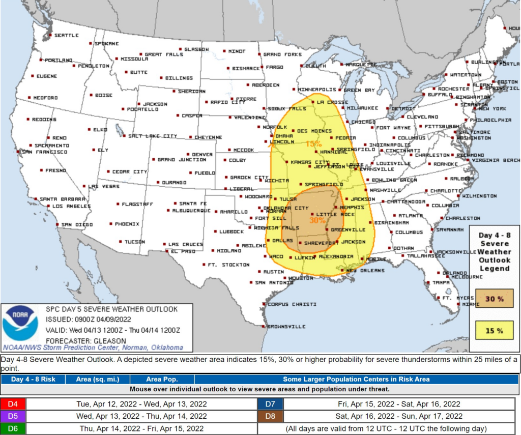
Severity is in question. The upper low that’ll pass north of us takes different tracks depending on the model you use. So it’s not time to start to worry. But it’s April, so it’ll be watched closely. We’re in the thick of severe storm season now. Stay tuned for more!
Quick References:
Weather changes constantly.
Follow @NashSevereWx on Twitter for any changes to this forecast.
Live coverage during tornado and severe thunderstorm warnings:
Look good.
Support the mission.
We are 100% community supported. No ads. No subscription fees. Keep it free for everyone.
Categories: Forecast Blogs (Legacy)
You must be logged in to post a comment.