
Tonight’s 0z run of the HRRR model thinks beginning Tuesday after lunch an atmosphere somewhat capable of producing a tornado or two, damaging straight line winds, and maybe even hail will settle in. The severe storm capability should linger into the evening and end before bedtime if current model data has it right.
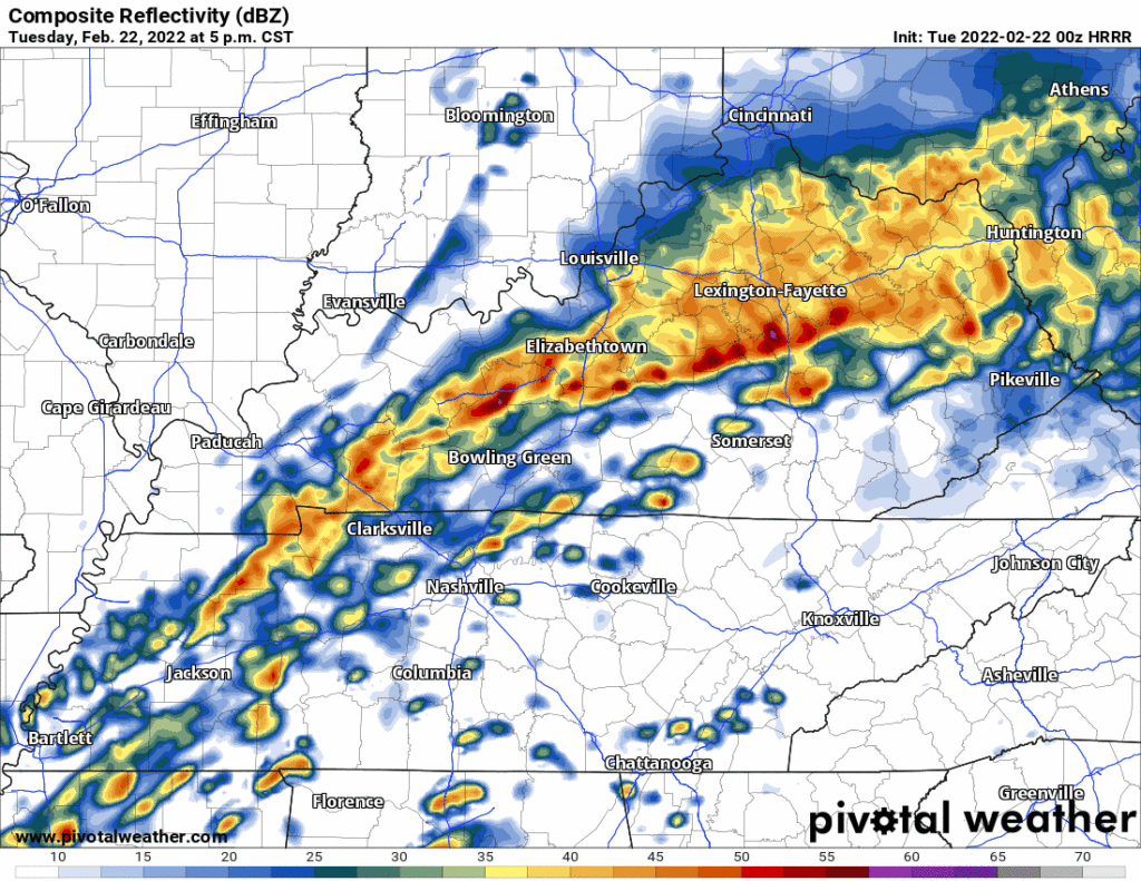
The HRRR model thinks storms will develop ahead of a main line of storms. ETA during the late afternoon/early evening rush-hour or so (that’s as specific as we think we can be).
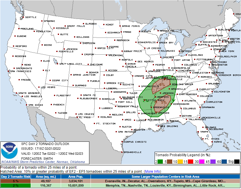
SPC puts the probabilities of x within 25 miles of you as follows: damaging straight line winds 15%, one-inch hail 5%, tornado 2%. Below is the tornado outlook.
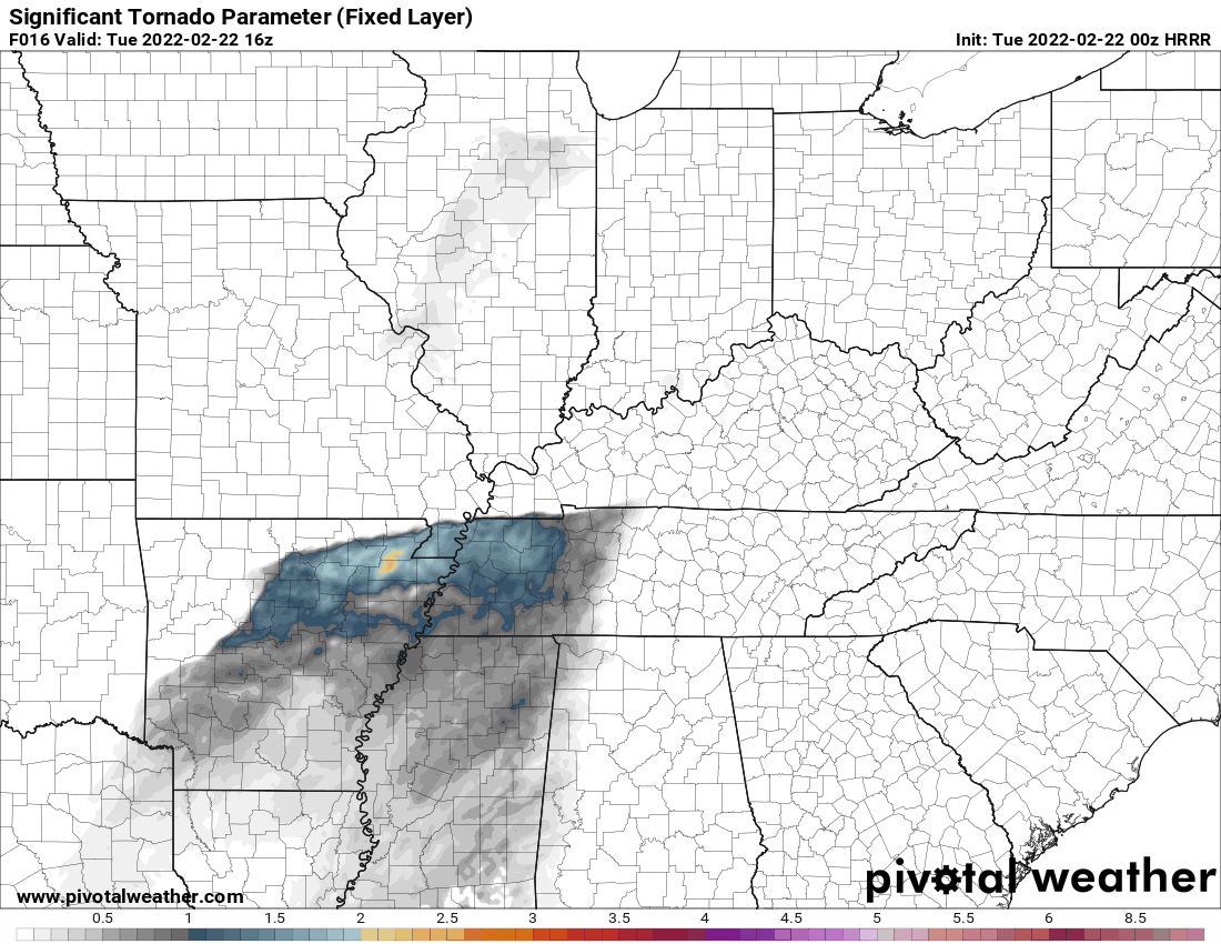
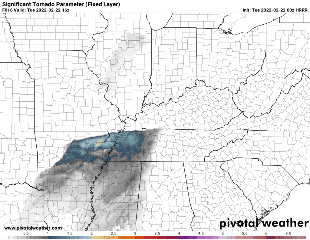
Shear/CAPE (tornado ingredients) appear marginal but it appears a tornado is possible. “Ned” (the personification of a temp inversion just off the surface, known to limit tornado probability) is showing up behind the data of the HRRR model. That is one reason the tornado concern is not higher.
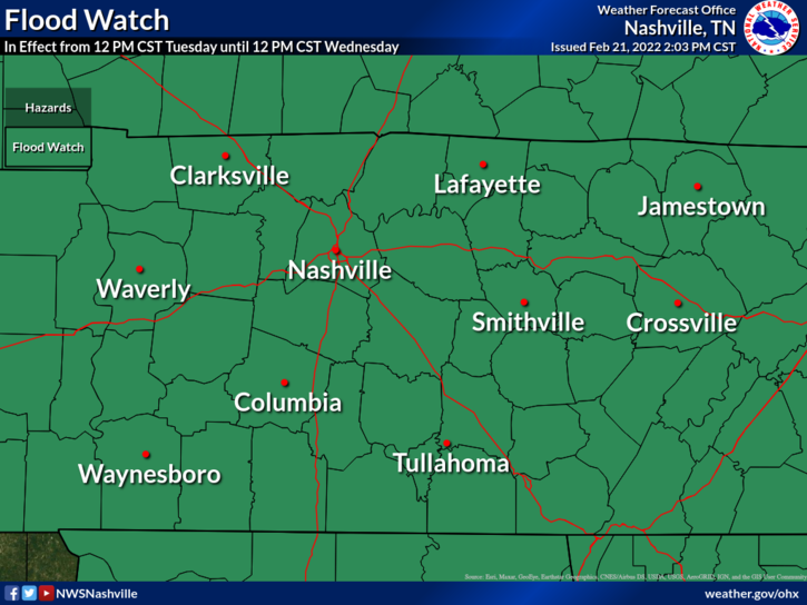
Meanwhile, we remain under a Flood Watch.
Rainfall totals have trended down lately. It’s possible if we get a few rounds of thunderstorms tonight, and again tomorrow afternoon and evening, we could see localized flash flooding. The probability of a flash flood event “at least 15%” within 25 miles of you, but really this threat will be super localized where the storms line up.
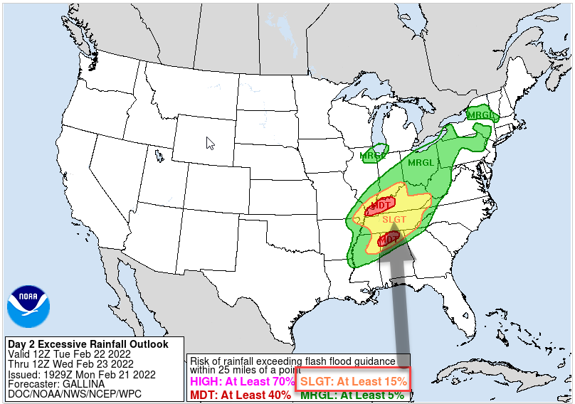
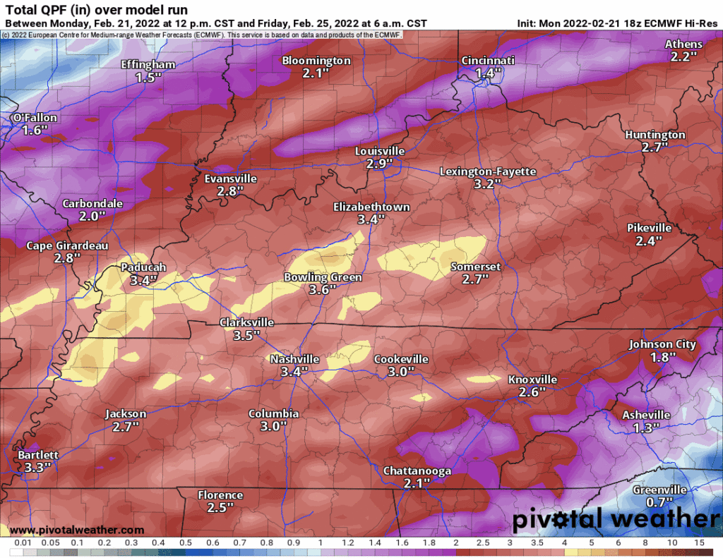
Another round of rain is expected late Wednesday night extending into Thursday. By Friday, we should have seen 3.5″ of rain for the entire week, which we can handle if it’s evenly distributed. However, some models (see below) think there will be a narrow area of 6″ or so which may cause flash flooding Thursday, potentially in Davidson/Williamson Co.
You may read about snow as the rain ends overnight Thursday night into early Friday morning, and that’s a “slight” possibility in the grids, but even if it happens it should melt on contact. An inconsequential legacy.
Quick References:
Weather changes constantly.
Follow @NashSevereWx on Twitter for any changes to this forecast.
Live coverage during tornado and severe thunderstorm warnings:
Look good.
Support the mission.
We are 100% community supported. No ads. No subscription fees. Keep it free for everyone.
Categories: Forecast Blogs (Legacy)
You must be logged in to post a comment.