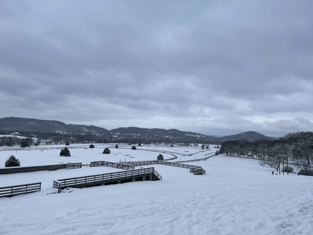
After yesterday’s record breaking snow, last nights extreme cold, and today’s below freezing temps, you can expect the snow to stick around today. Unless your car has ice skates instead of wheels, AVOID DRIVING IF POSSIBLE!! The roads are still very dangerous and icy. If you absolutely have to drive, make sure to go very slow and leave plenty of room between you and other cars. Don’t make sudden movements. Also be sure to bring extra warm clothes, food and water in case of emergency.

The official site measured 6.3″ of snow yesterday, which sets a new record for January 6 snowfall. Some of you saw more than this, some saw less.
Our Warmup
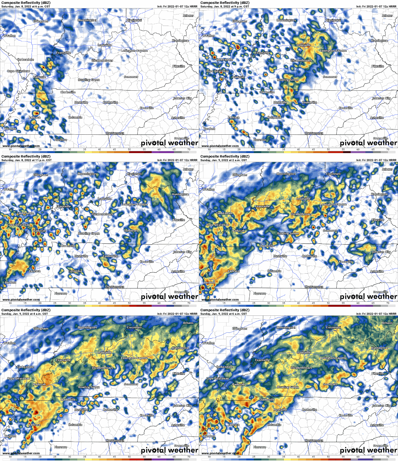
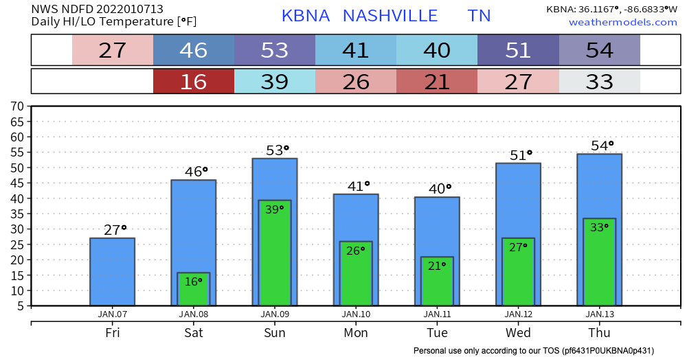
The good news, (or bad news if you want more time with Frosty the Snowman) is that Saturday we will start warming up. Saturday’s temp could rise to nearly 50º for some of us. Some rain is expected, which, along with the higher temperatures, will start melting the snow. Localized flooding is a concern with this melting snow, and bodies of water may rise. HRRR thinks these showers will approach in the evening and hang around through Sunday morning, but this timing can change between now and then.

Severe weather is not expected with this system at this time, but individual stronger storms are possible. Stay weather aware.
Quick References:
Weather changes constantly.
Follow @NashSevereWx on Twitter for any changes to this forecast.
Live coverage during tornado and severe thunderstorm warnings:
Look good.
Support the mission.
We are 100% community supported. No ads. No subscription fees. Keep it free for everyone.
Categories: Forecast Blogs (Legacy)


You must be logged in to post a comment.