
Last month seemed like never ending severe weather. This month seems like never ending winter weather.
Today’s weather is pretty plain and simple. Slightly warmer temps, a little breezy, and no rain. Now on to the fun stuff.
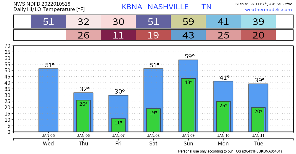
Temperatures drop overnight tonight into the mid-20s. Precipitation is expected to get to us around 7 AM. Since it’s below freezing, we will see snow again.
HRRR has the snow arriving around 7 AM and leaving around lunch time. See visual below:
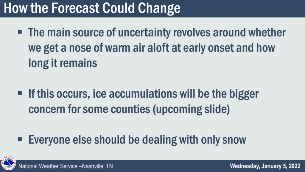
Notice we are primarily in the blue, not the pink or purple. Blue is snow. Pink and Purple is freezing rain and ice. Ice is expected to be south of us. Here is where the NWS thinks the ice and sleet will occur.
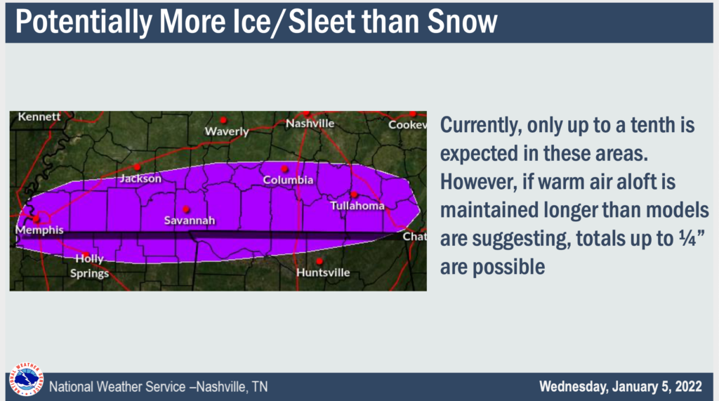
There is a slight chance the counties just above this purple region could see some ice and sleet. (looking at you Williamson Co.)
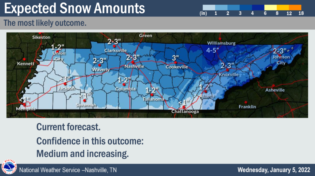
Snowfall totals for this event look like they will be in the 2″ – 3″ range. The ground will be cold enough for accumulation to occur, so it’s not a question of if it sticks but rather how much snow will fall as opposed to sleet or freezing rain. Note that model confidence is “medium and increasing”. We’ll update you on any important changes should they happen.
After all the snow falls, what happens to temps? They PLUNGE. We’ll be in the teens by Thursday night, and close to 10 degrees by Friday morning.
This means snow cover from Thursday is not going anywhere, and any standing water or wet areas will freeze. This all leads to dangerous road conditions.
Expect hazardous road conditions Thursday, and probably all day Friday because we never get above freezing, especially on untreated roads. Saturday temps will hit 50 degrees so this should take care of any ice or snow.
Forecasts are always subject to change. How could this one change you might ask? The NWS has an awesome slide to answer that question.
We’ll keep you posted on this event on twitter and here!
Quick References:
Weather changes constantly.
Follow @NashSevereWx on Twitter for any changes to this forecast.
Live coverage during tornado and severe thunderstorm warnings:
Look good.
Support the mission.
We are 100% community supported. No ads. No subscription fees. Keep it free for everyone.
Categories: Forecast Blogs (Legacy)
You must be logged in to post a comment.