
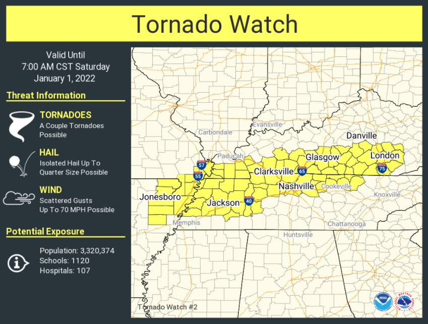
SPC issued a tornado watch that expires at 7:00 am for a large area that includes Davidson County. Williamson County is excluded.
The model trend throughout the day Friday has been for storms to develop increasingly north and west of Nashville. This has become the case as the new year has begun.
HRRR thinks storms will largely stay jjjjust NW of Nashville through the night, but the door then opens for some storms to form ahead of the main line of storms arriving later in the day today. HRRR below:

These storms out ahead of the main line could be supercells and contain tornadoes. They’ll need to be watched.
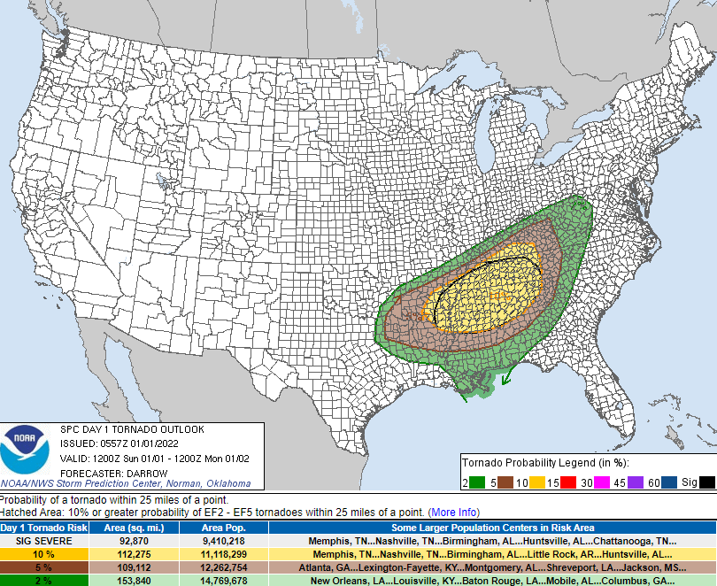
The midnight update from SPC showed largely unchanged probabilities for our daytime round of storms with probabilities of “x” happening within 25 miles of you being: Tornado – 10% (also a 10% chance of an EF2+), Damaging Straight-Line Winds – 30% and Large Hail – 15%.


Stay connected. As happened Friday, changes occur in forecasts. They evolve throughout the day. Check back often. We’ll be on Twitter and also have a full blog ready to go mid-morning.
Categories: Forecast Blogs (Legacy)
You must be logged in to post a comment.