
Highs are running 20-25 degrees above normal this week. Rain is possible every day, most likely Wednesday and Saturday. Those are the days we are concerned about.
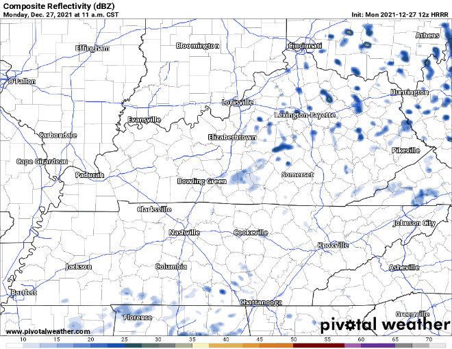
Below shows Monday and Tuesday, no worries about it.
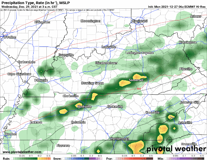
Wednesday through perhaps Thursday morning expect widespread showers with thunderstorms possible. One or two storms could become severe, but that’s more likely to happen south of us. SPC has our area under a marginal risk of a 5% probability of severe weather within 25 miles of you. Low, but not zero.
Wednesday afternoon/evening is the most likely ETA. Heavy rainfall and strong winds are the main concerns.
Thursday and Friday look relatively dry, maybe a sprinkle or two but mostly dry.
Widespread rain and possible severe storms with an ETA Saturday into Saturday night. SPC includes us among those with a 15% probability of severe thunderstorms within 25 miles of us.
Good thing about these systems is that they’re far enough apart that flooding shouldn’t be too much of an issue.
You will probably hear rumors comparing this system to the one that came through second weekend of December that created a regional tornado outbreak. That’s … premature.
NWS-Nashville wrote:
Timing between the GFS and the Euro still isn`t synced up, but it looks like a warm front will lift northward Friday night/Saturday morning and then a cold front passage some time Saturday evening. Those detail can be worked out in future forecast packages, but what both are showing is a fairly dynamic system with a deepening low passing to our north, yielding an environment that could produce at least a couple of severe storms.
Models do not have this whole thing figured out. We often see this general pattern (warm front pulls north, low near the Ohio River, cold front sweeps in) without seeing severe weather. That may be this event. To say more is to speculate unnecessarily. The parent low may actually end up too far north or too far south to deliver severe weather locally. That’s one of the many things that may go right for us (and wrong for tornadoes).
One other thing. Models are back and forth about the system after this NYD rain/storm event Saturday. There was a blog about it last night. Today the GFS has the perfect setup for bleepflakes Sunday/Monday, but the Euro has no such thing. So, you may hear/read rumors of bleepflakes but understand models commonly depict that at this range, then as we near the supposed event, the models abandon the idea, and of course nothing happens.
Categories: Forecast Blogs (Legacy)
You must be logged in to post a comment.