

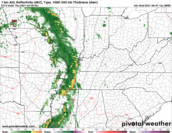
Rain Beginning Overnight
Wednesday should remain warm and dry until this evening. Rain will move into Middle Tennessee tonight.
Timing
The HRRR shows rain approaching both counties just before midnight. Rain should last through the overnight hours and clear by the morning.
Storm Potential
We are lacking most of the ingredients for severe weather to form.
The jet stream will dip into Tennessee today, which will boost our wind shear values. We also have plenty of moisture funneling in from the Gulf of Mexico. The instability remains low, which is what’s fending off severe chances for today.
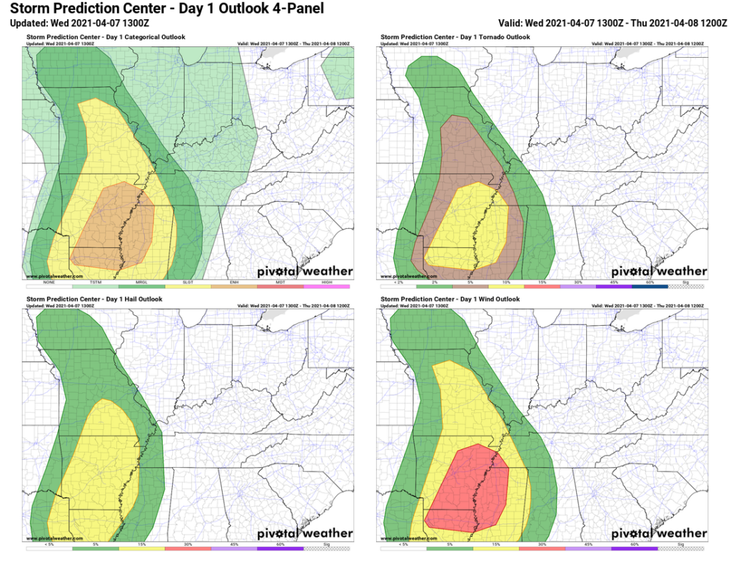
Severe weather potential for this system comes in the shape of an avocado. The “pit” of the avocado (aka where the highest severe weather potential is located) sits to our southwest.
Tornado and hail concerns are far west of us. The only *slight* risk that extends into our area is for damaging winds. Rainfall amounts look low enough that we aren’t concerned about flooding.
The factors are definitely in our favor for not seeing severe weather form, but this is not definite. The higher risk region could slide our way with the right combination of factors. While we don’t think this will happen, we will be watching just in case.
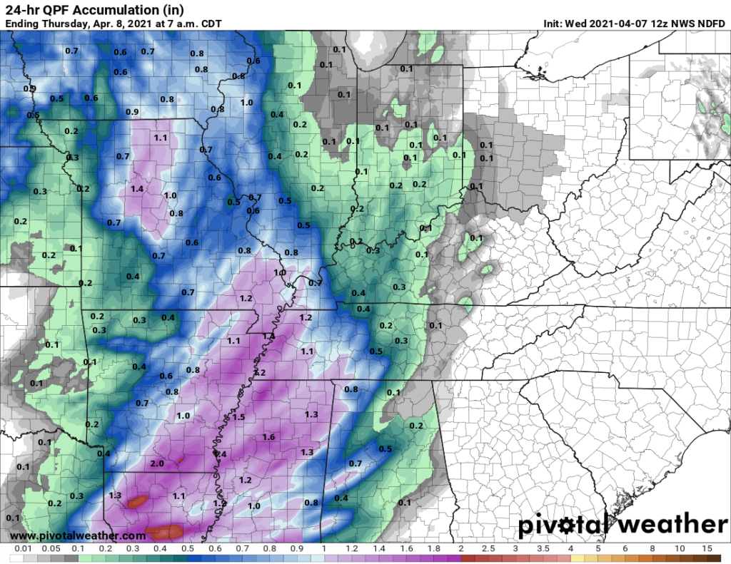
Rainfall Totals
Total rainfall amounts from this event should be about a half inch or less.
All this to say, you can sleep tonight without worries, but you should always have weather alerts set if anything changes. Download StormWatch+ to wake you up if there is a warning near you. As much as we want it to be, weather isn’t an exact science. The forecast can (and will) change today, so stay tuned to @NashSevereWx on Twitter for updates throughout the day.
Outdoor Weekend Plans Are Looking Risky
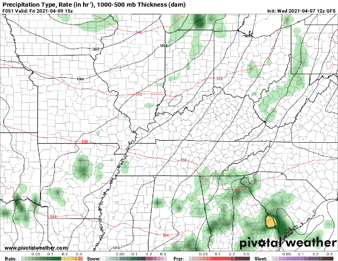
A brief chance to dry out heads our way Thursday and part of Friday…

…But more rain sneaks into the forecast this weekend. A cold front will drag through Middle Tennessee on Saturday, bringing showers along with it.
This forecast is still pretty low resolution, so it’s too early to say if your 10am golf game on Saturday will be safe. We will let you know more specifics as we get closer!
What we can say confidently is that the warming trend will continue throughout the duration of the forecast period. Happy spring!
Categories: Forecast Blogs (Legacy)
You must be logged in to post a comment.