

Cloudy Saturday, Ending in Rain Overnight
Everyone’s favorite–Saturday rain! Fortunately, today won’t be a washout. High temperatures will reach 47º. Our overnight temperatures will stay relatively mild due to the rain.
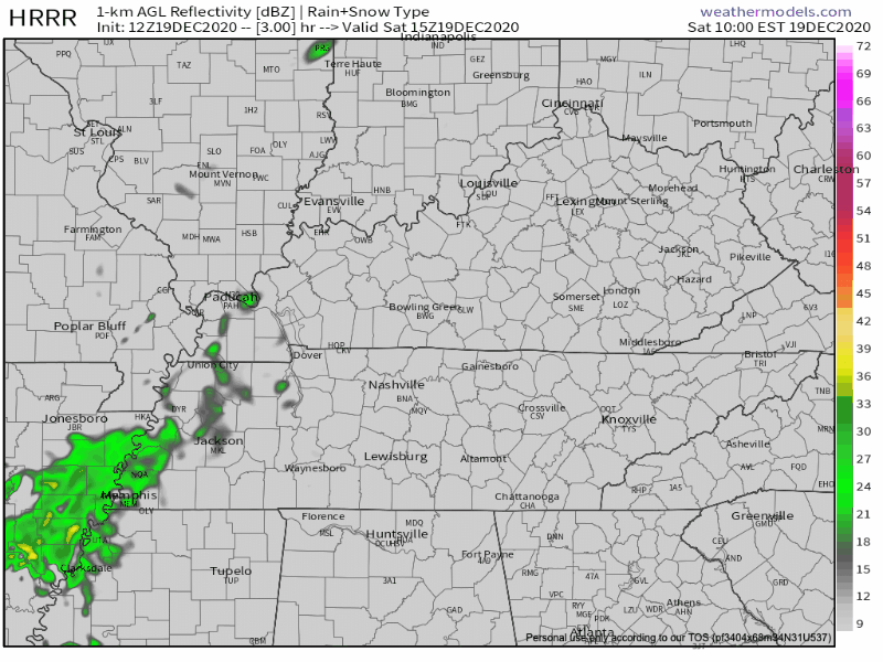
Clouds will increase throughout the day, culminating in rain tonight.
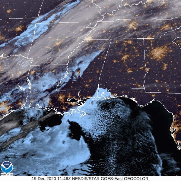
Rain is set to begin around dusk (aka, 4pm-ish). We should see light rain showers through the overnight hours, ending before dawn tomorrow. Temperatures will be quite warm, relatively speaking, so snow tonight is out of the question.
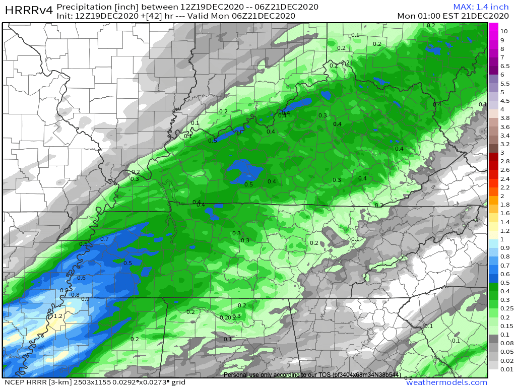
Overall, rainfall totals will be right around a quarter of an inch.
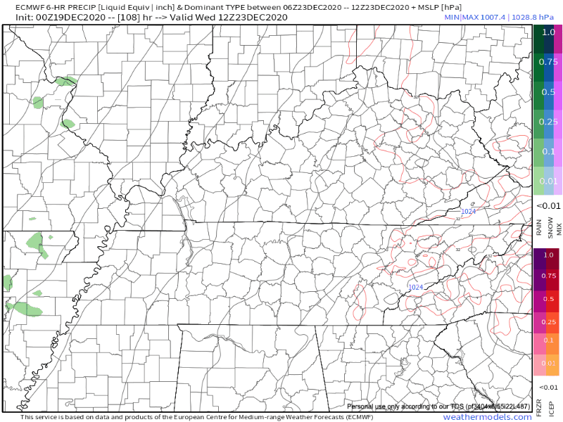
Rain Clearing Sunday
By daybreak tomorrow, rain should be clear of Middle Tennessee. This rain isn’t going to bring a strong cold front through, so temperatures will continue with their gradual warming trend.
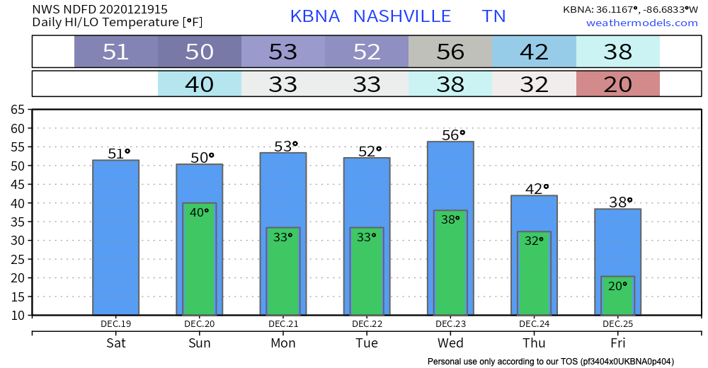
In fact, by Wednesday we will be nearly 10º above average for this time of year!
What Everyone’s Been Waiting for…
Let’s discuss sn*w chances on Christmas Eve.
All I can say is, the lower you set your expectations, the more pleasantly surprised you will be…
The Euro model from this morning shows the main rain event moving through during the overnight hours Wednesday into early Thursday morning. The heaviest rain appears to move through Thursday before noon.
Now, let’s be real. We don’t particularly care about the rain. The formation of any snow depends on the temperatures, which the models are *not* in agreement about.
Either way we will see a cold advection scenario with cold air chasing moisture which is not really a good setup for accumulating snow… significant accumulation has a very low probability at this point, with very early Thursday morning and Thursday night the best chance of snow at all.
-NWS Area Forecast Discussion
Here’s the Euro’s forecast of the event on Thursday:
Either way, models do agree that it will be COLD. Temperatures will plummet into the 20’s/30’s following the precipitation.
We cannot emphasize this enough. It’s still over four days away from the event. We cannot determine what’s going to happen, where it’s going to happen, or when it’s going to happen this far in advance. Don’t believe crap apps telling you there’s a 70% chance of snow on Thursday. Embrace the uncertainty.

Until then, happy Saturday!
Categories: Forecast Blogs (Legacy)
You must be logged in to post a comment.